File:Central African Empire map.png
Jump to navigation
Jump to search
No higher resolution available.
Central_African_Empire_map.png (665 × 503 pixels, file size: 78 KB, MIME type: image/png)
Captions
Captions
Add a one-line explanation of what this file represents
Summary
[edit]
| Description |
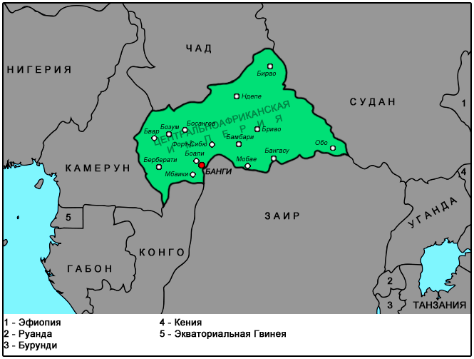
English: Locator map of the former Central African Empire — an autocratic monarchy the existed from 1976 to 1979.
|
| Date | (UTC) |
| Source |
This file was derived from: BlankMap-Africa2.svg: |
| Author |
|
| This is a retouched picture, which means that it has been digitally altered from its original version. Modifications: cropping, colouring and adding text. The original can be viewed here: BlankMap-Africa2.svg:
|
Licensing
[edit]
I, the copyright holder of this work, hereby publish it under the following license:
| I, the copyright holder of this work, release this work into the public domain. This applies worldwide. In some countries this may not be legally possible; if so: I grant anyone the right to use this work for any purpose, without any conditions, unless such conditions are required by law. |
Original upload log
[edit]
This image is a derivative work of the following images:
- File:BlankMap-Africa2.svg licensed with PD-self
- 2009-09-22T17:08:18Z NuclearVacuum 1000x1000 (360040 Bytes) {{Information |Description={{en|1=An alternative version of [[:File:BlankMap-Africa.svg]], but with the surrounding countries also added.}} |Source=*[[:File:BlankMap-World6.svg]]{{Inkscape}} |Author=[[User:NuclearVacuum|Nucle
Uploaded with derivativeFX
File history
Click on a date/time to view the file as it appeared at that time.
| Date/Time | Thumbnail | Dimensions | User | Comment | |
|---|---|---|---|---|---|
| current | 00:50, 21 January 2013 | | 665 × 503 (78 KB) | Lpi4635 (talk | contribs) | == {{int:filedesc}} == {{Information |Description={{en|1=An alternative version of File:BlankMap-Africa.svg, but with the surrounding countries also added.}} {{invalidSVG}} |Source={{Derived from|BlankMap-Africa2.svg|display=50}} |Date=2013-01-21 ... |
You cannot overwrite this file.
File usage on Commons
There are no pages that use this file.