File:Carte vierge départements français avec DOM.svg
Jump to navigation
Jump to search

Size of this PNG preview of this SVG file: 588 × 550 pixels. Other resolutions: 257 × 240 pixels | 513 × 480 pixels | 821 × 768 pixels | 1,095 × 1,024 pixels | 2,190 × 2,048 pixels.
Original file (SVG file, nominally 588 × 550 pixels, file size: 192 KB)
Captions
Captions
Add a one-line explanation of what this file represents
| Description |
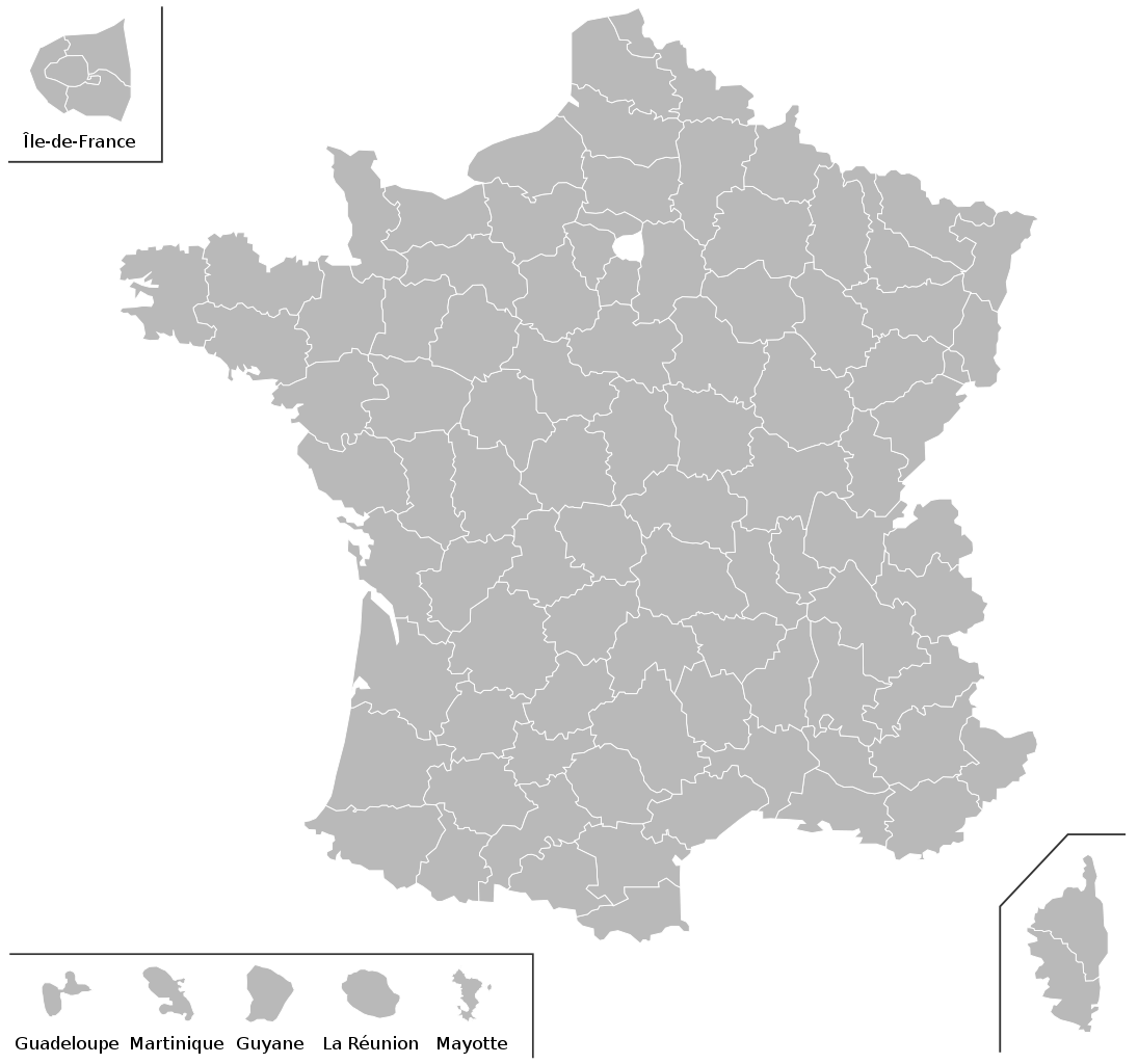
English: Blank map of French departements, including the DOMs and Mayotte. Very easy to colour using a text editor.
Français : Carte vierge des départements français, avec les DOM et Mayotte. Très facile à colorer rapidement avec un éditeur de texte. |
| Date | |
| Source | Derivative of File:Conseils généraux 2008.svg |
| Author | Original map: User:Pymouss44; derivative work by User:Pruneau |
I, the copyright holder of this work, hereby publish it under the following licenses:

|
Permission is granted to copy, distribute and/or modify this document under the terms of the GNU Free Documentation License, Version 1.2 or any later version published by the Free Software Foundation; with no Invariant Sections, no Front-Cover Texts, and no Back-Cover Texts. A copy of the license is included in the section entitled GNU Free Documentation License. |
This file is licensed under the Creative Commons Attribution-Share Alike 3.0 Unported, 2.5 Generic, 2.0 Generic and 1.0 Generic license.
- You are free:
- to share – to copy, distribute and transmit the work
- to remix – to adapt the work
- Under the following conditions:
- attribution – You must give appropriate credit, provide a link to the license, and indicate if changes were made. You may do so in any reasonable manner, but not in any way that suggests the licensor endorses you or your use.
- share alike – If you remix, transform, or build upon the material, you must distribute your contributions under the same or compatible license as the original.
You may select the license of your choice.
File history
Click on a date/time to view the file as it appeared at that time.
| Date/Time | Thumbnail | Dimensions | User | Comment | |
|---|---|---|---|---|---|
| current | 12:05, 18 February 2009 | | 588 × 550 (192 KB) | Pruneau (talk | contribs) | corrected issue with colouring IDF |
| 12:02, 18 February 2009 |  | 588 × 550 (192 KB) | Pruneau (talk | contribs) | allowing colouring of regious IDF can now be either in the corner or in its normal position | |
| 10:24, 18 February 2009 |  | 588 × 550 (189 KB) | Pruneau (talk | contribs) | text corrected | |
| 18:35, 8 February 2009 |  | 588 × 550 (187 KB) | Pruneau (talk | contribs) | {{Information |Description={{en|Blank map of French departements, including the DOMs and Mayotte. Very easy to colour using a text editor.}} {{fr|Carte vierge des départements français, avec les DOM et Mayotte. Très facile à colorer rapidement avec un |
You cannot overwrite this file.
File usage on Commons
The following page uses this file:
File usage on other wikis
The following other wikis use this file:
- Usage on fr.wikipedia.org
- Histoire de Mayotte
- Direction nationale de la Police judiciaire
- Utilisateur:Pablo029/test:infobox2
- Office central de lutte contre la corruption et les infractions financières et fiscales
- Modèle:Infobox Police/Documentation
- Modèle:Infobox Police
- Direction centrale du recrutement et de la formation de la Police nationale
- Service central des courses et jeux
- Direction de la coopération internationale de sécurité
- Usage on he.wikipedia.org