File:Carte pays Hongrie administratif.svg
Jump to navigation
Jump to search

Size of this PNG preview of this SVG file: 800 × 521 pixels. Other resolutions: 320 × 208 pixels | 640 × 417 pixels | 1,024 × 666 pixels | 1,280 × 833 pixels | 2,560 × 1,666 pixels | 842 × 548 pixels.
Original file (SVG file, nominally 842 × 548 pixels, file size: 2.41 MB)
Captions
Captions
Add a one-line explanation of what this file represents
Summary[edit]
| Description |
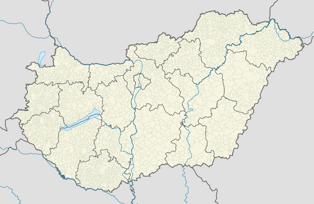
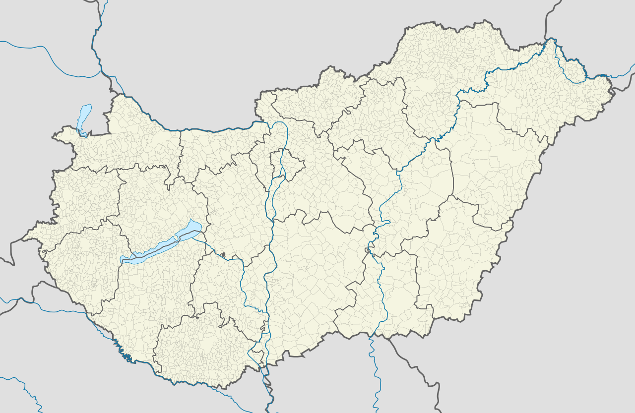
Français : Carte administrative de la Hongrie |
| Date | |
| Source | Own work |
| Author | Ludó |
Licensing[edit]
I, the copyright holder of this work, hereby publish it under the following license:
This file is licensed under the Creative Commons Attribution-Share Alike 4.0 International license.
- You are free:
- to share – to copy, distribute and transmit the work
- to remix – to adapt the work
- Under the following conditions:
- attribution – You must give appropriate credit, provide a link to the license, and indicate if changes were made. You may do so in any reasonable manner, but not in any way that suggests the licensor endorses you or your use.
- share alike – If you remix, transform, or build upon the material, you must distribute your contributions under the same or compatible license as the original.
File history
Click on a date/time to view the file as it appeared at that time.
| Date/Time | Thumbnail | Dimensions | User | Comment | |
|---|---|---|---|---|---|
| current | 12:48, 10 March 2016 | | 842 × 548 (2.41 MB) | Ludó (talk | contribs) | correctifs Balaton |
| 10:35, 15 February 2016 |  | 842 × 548 (2.41 MB) | Ludó (talk | contribs) | traits plus fins | |
| 23:19, 27 November 2015 |  | 842 × 548 (2.41 MB) | Ludó (talk | contribs) | User created page with UploadWizard |
You cannot overwrite this file.
File usage on Commons
The following 21 pages use this file:
- File:Flag-map of Baranya County.svg
- File:Flag-map of Borsod-Abaúj-Zemplén County.svg
- File:Flag-map of Budapest.svg
- File:Flag-map of Bács-Kiskun County.svg
- File:Flag-map of Békés County.svg
- File:Flag-map of Csongrád County.svg
- File:Flag-map of Fejér County.svg
- File:Flag-map of Győr-Moson-Sopron County.svg
- File:Flag-map of Hajdú-Bihar County.svg
- File:Flag-map of Heves County.svg
- File:Flag-map of Hungary (subdivisions).svg
- File:Flag-map of Jász-Nagykun-Szolnok County.svg
- File:Flag-map of Komárom-Esztergom County.svg
- File:Flag-map of Nógrád County.svg
- File:Flag-map of Pest County.svg
- File:Flag-map of Somogy County.svg
- File:Flag-map of Szabolcs-Szatmár-Bereg County.svg
- File:Flag-map of Tolna County.svg
- File:Flag-map of Vas County.svg
- File:Flag-map of Veszprém County.svg
- File:Flag-map of Zala County.svg
.svg)
File usage on other wikis
The following other wikis use this file:
- Usage on fr.wikipedia.org
- Usage on gl.wikipedia.org