File:Carte de l'Isle St. Domingue LOC 2008628128.jpg
Jump to navigation
Jump to search

Size of this preview: 762 × 599 pixels. Other resolutions: 305 × 240 pixels | 610 × 480 pixels | 977 × 768 pixels | 1,280 × 1,007 pixels | 2,560 × 2,014 pixels | 8,115 × 6,383 pixels.
Original file (8,115 × 6,383 pixels, file size: 6.96 MB, MIME type: image/jpeg)
Captions
Captions
Add a one-line explanation of what this file represents
Summary
[edit]| Description |
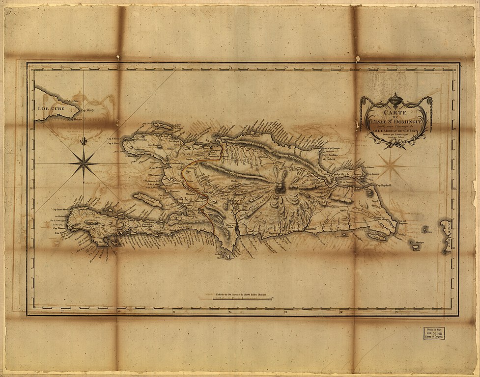
English: Relief shown by hachures. Hand colored in orange showing boundary between Haiti and Dominican Republic. Available also through the Library of Congress Web site as a raster image. Vault |
||
| Title | Carte de l'Isle St. Domingue | ||
| Shelf ID | G4930 1796 .M6 | ||
| Date | |||
| Source | https://www.loc.gov/item/2008628128/ | ||
| Author | Moreau De Saint Méry, M. L. E. (Médéric Louis Élie); Moreau De Saint Méry, M. L. E. | ||
| Permission (Reusing this file) |
|
||
| Other versions |
|
||
| Location | Hispaniola | ||
| Part of | American Memory · General Maps · Catalog · Geography And Map Division | ||
| Subject | Maps · Hispaniola · Early Works To 1800 |


Licensing
[edit]
|
This is a faithful photographic reproduction of a two-dimensional, public domain work of art. The work of art itself is in the public domain for the following reason:
The official position taken by the Wikimedia Foundation is that "faithful reproductions of two-dimensional public domain works of art are public domain".
This photographic reproduction is therefore also considered to be in the public domain in the United States. In other jurisdictions, re-use of this content may be restricted; see Reuse of PD-Art photographs for details. | ||||
File history
Click on a date/time to view the file as it appeared at that time.
| Date/Time | Thumbnail | Dimensions | User | Comment | |
|---|---|---|---|---|---|
| current | 15:55, 21 May 2018 | | 8,115 × 6,383 (6.96 MB) | Fæ (talk | contribs) | LOC Maps https://www.loc.gov/item/2008628128/ #889 |
You cannot overwrite this file.
File usage on Commons
The following page uses this file: