File:Carte Tikehau.png
Jump to navigation
Jump to search

Size of this preview: 653 × 600 pixels. Other resolutions: 261 × 240 pixels | 523 × 480 pixels | 836 × 768 pixels | 1,115 × 1,024 pixels | 2,229 × 2,048 pixels | 2,815 × 2,586 pixels.
Original file (2,815 × 2,586 pixels, file size: 159 KB, MIME type: image/png)
Captions
Captions
Add a one-line explanation of what this file represents
Summary[edit]
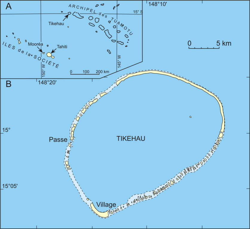
| Description | Map of the atoll Tikehau (French Polynesia), Carte de l'atoll Tikehau (Polynésie française), Karte vom Atoll Tikehau (Französisch-Polynesien) |
| Date | |
| Source | redrawn from scanned maps |
| Author | Urs Neumeier |
| Permission (Reusing this file) |
Creative Commons Licenses - Attribution Share Alike (by-sa) |
| Other versions | Image:Carte Tikehau.svg |
Licensing[edit]
This file is licensed under the Creative Commons Attribution-Share Alike 2.5 Generic license.
- You are free:
- to share – to copy, distribute and transmit the work
- to remix – to adapt the work
- Under the following conditions:
- attribution – You must give appropriate credit, provide a link to the license, and indicate if changes were made. You may do so in any reasonable manner, but not in any way that suggests the licensor endorses you or your use.
- share alike – If you remix, transform, or build upon the material, you must distribute your contributions under the same or compatible license as the original.
File history
Click on a date/time to view the file as it appeared at that time.
| Date/Time | Thumbnail | Dimensions | User | Comment | |
|---|---|---|---|---|---|
| current | 02:02, 31 July 2007 | | 2,815 × 2,586 (159 KB) | Neumeier (talk | contribs) | |
| 21:01, 13 January 2006 |  | 3,753 × 3,449 (153 KB) | Neumeier (talk | contribs) | {{Information |Description = Map of the atoll Tikehau (French Polynesia), Carte de l'atoll Tikehau (Polynésie française), Karte vom Atoll Tikehau (Französisch-Polynesien) |Source = redrawn from scanned maps |Date = 13.1.2006 |Author = Urs Neumeier |Per |
You cannot overwrite this file.
File usage on Commons
There are no pages that use this file.
File usage on other wikis
The following other wikis use this file: