File:Carte Pichiguy 1689.png
Jump to navigation
Jump to search
Size of this preview: 800 × 481 pixels. Other resolutions: 320 × 192 pixels | 640 × 385 pixels | 1,175 × 706 pixels.
Original file (1,175 × 706 pixels, file size: 1.06 MB, MIME type: image/png)
Captions
Captions
Add a one-line explanation of what this file represents
Summary[edit]
| Description |
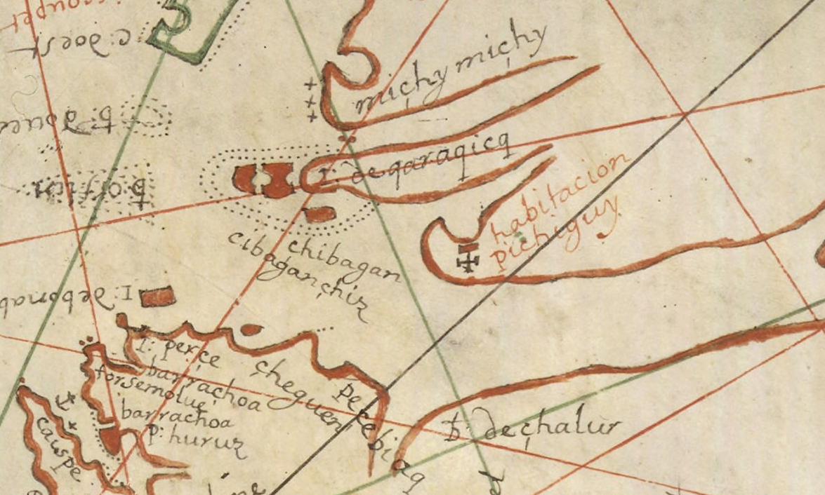
Français : Détail de la carte de Pierre Detcheverry de 1689, montrant l'actuelle Péninsule acadienne au Nouveau-Brunswick (Canada). |
| Date | |
| Source | http://gallica.bnf.fr/ark:/12148/btv1b80199431/f1.zoom |
| Author | Pierre Detcheverry |
Licensing[edit]
|
This work is in the public domain in its country of origin and other countries and areas where the copyright term is the author's life plus 100 years or fewer. | |
| This file has been identified as being free of known restrictions under copyright law, including all related and neighboring rights. | |
File history
Click on a date/time to view the file as it appeared at that time.
| Date/Time | Thumbnail | Dimensions | User | Comment | |
|---|---|---|---|---|---|
| current | 20:00, 6 July 2014 | | 1,175 × 706 (1.06 MB) | SteinsplitterBot (talk | contribs) | Bot: Image rotated by 180° |
| 22:29, 8 June 2014 |  | 1,175 × 706 (1.52 MB) | Red Castle (talk | contribs) | User created page with UploadWizard |
You cannot overwrite this file.
File usage on Commons
There are no pages that use this file.
File usage on other wikis
The following other wikis use this file:
- Usage on fr.wikipedia.org