File:Carmarthenshire UK community map (blank).svg
Jump to navigation
Jump to search

Size of this PNG preview of this SVG file: 769 × 600 pixels. Other resolutions: 308 × 240 pixels | 616 × 480 pixels | 985 × 768 pixels | 1,280 × 998 pixels | 2,560 × 1,996 pixels | 1,425 × 1,111 pixels.
Original file (SVG file, nominally 1,425 × 1,111 pixels, file size: 1.67 MB)
Captions
Captions
Add a one-line explanation of what this file represents
| Description |
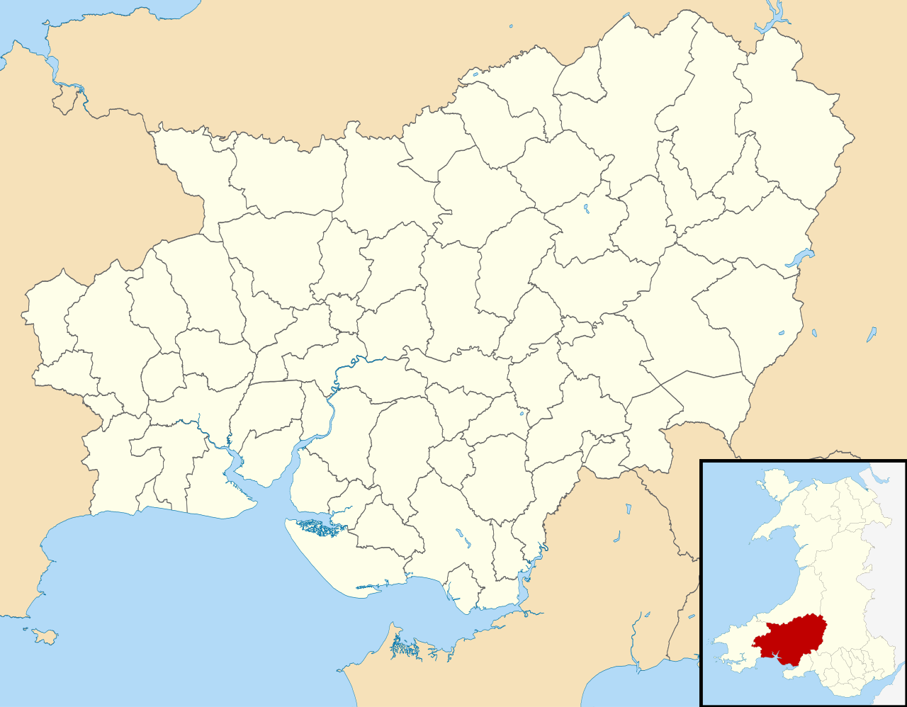
Blank map of Carmarthenshire, UK with communities shown. Equirectangular map projection on WGS 84 datum, with N/S stretched 160% Geographic limits:
|
| Date | |
| Source |
|
| Author | Nilfanion, created using Ordnance Survey data |
| Permission (Reusing this file) |
This file is licensed under the Creative Commons Attribution-Share Alike 3.0 Unported license. Attribution: Contains Ordnance Survey data © Crown copyright and database right
|
File history
Click on a date/time to view the file as it appeared at that time.
| Date/Time | Thumbnail | Dimensions | User | Comment | |
|---|---|---|---|---|---|
| current | 18:02, 16 October 2010 | | 1,425 × 1,111 (1.67 MB) | Nilfanion (talk | contribs) | {{Information |Description=Blank map of Carmarthenshire, UK with communities shown. Equirectangular map projection on WGS 84 datum, with N/S stretched 160% Geographic limits: *West: 4.75W *East: 3.58W *North: 52.15N *South: 51.58N |
You cannot overwrite this file.
File usage on Commons
The following 74 pages use this file:
- User:Nilfanion/Maps/Counties
- User:Nilfanion/Maps/Wales
- File:Wales Carmarthenshire Community Abergwili map.svg
- File:Wales Carmarthenshire Community Abernant map.svg
- File:Wales Carmarthenshire Community Ammanford map.svg
- File:Wales Carmarthenshire Community Betws map.svg
- File:Wales Carmarthenshire Community Bronwydd map.svg
- File:Wales Carmarthenshire Community Carmarthen map.svg
- File:Wales Carmarthenshire Community Cenarth map.svg
- File:Wales Carmarthenshire Community Cilycwm map.svg
- File:Wales Carmarthenshire Community Cilymaenllwyd map.svg
- File:Wales Carmarthenshire Community Cwmamman map.svg
- File:Wales Carmarthenshire Community Cynwyl Elfed map.svg
- File:Wales Carmarthenshire Community Cynwyl Gaeo map.svg
- File:Wales Carmarthenshire Community Dyffryn Cennen map.svg
- File:Wales Carmarthenshire Community Eglwyscummin map.svg
- File:Wales Carmarthenshire Community Gorslas map.svg
- File:Wales Carmarthenshire Community Henllanfallteg map.svg
- File:Wales Carmarthenshire Community Kidwelly map.svg
- File:Wales Carmarthenshire Community Laugharne Township map.svg
- File:Wales Carmarthenshire Community Llanarthney map.svg
- File:Wales Carmarthenshire Community Llanboidy map.svg
- File:Wales Carmarthenshire Community Llanddarog map.svg
- File:Wales Carmarthenshire Community Llanddeusant map.svg
- File:Wales Carmarthenshire Community Llanddowror map.svg
- File:Wales Carmarthenshire Community Llandeilo map.svg
- File:Wales Carmarthenshire Community Llandovery map.svg
- File:Wales Carmarthenshire Community Llandybie map.svg
- File:Wales Carmarthenshire Community Llandyfaelog map.svg
- File:Wales Carmarthenshire Community Llanedi map.svg
- File:Wales Carmarthenshire Community Llanegwad map.svg
- File:Wales Carmarthenshire Community Llanelli Rural map.svg
- File:Wales Carmarthenshire Community Llanelli map.svg
- File:Wales Carmarthenshire Community Llanfair-ar-y-Bryn map.svg
- File:Wales Carmarthenshire Community Llanfihangel-ar-Arth map.svg
- File:Wales Carmarthenshire Community Llanfihangel Aberbythych map.svg
- File:Wales Carmarthenshire Community Llanfihangel Rhos-y-Corn map.svg
- File:Wales Carmarthenshire Community Llanfynydd map.svg
- File:Wales Carmarthenshire Community Llangadog map.svg
- File:Wales Carmarthenshire Community Llangain map.svg
- File:Wales Carmarthenshire Community Llangathen map.svg
- File:Wales Carmarthenshire Community Llangeler map.svg
- File:Wales Carmarthenshire Community Llangennech map.svg
- File:Wales Carmarthenshire Community Llangunnor map.svg
- File:Wales Carmarthenshire Community Llangyndeyrn map.svg
- File:Wales Carmarthenshire Community Llangynin map.svg
- File:Wales Carmarthenshire Community Llangynog map.svg
- File:Wales Carmarthenshire Community Llanllawddog map.svg
- File:Wales Carmarthenshire Community Llanllwni map.svg
- File:Wales Carmarthenshire Community Llannon map.svg
- File:Wales Carmarthenshire Community Llanpumsaint map.svg
- File:Wales Carmarthenshire Community Llansadwrn map.svg
- File:Wales Carmarthenshire Community Llansawel map.svg
- File:Wales Carmarthenshire Community Llansteffan map.svg
- File:Wales Carmarthenshire Community Llanwinio map.svg
- File:Wales Carmarthenshire Community Llanwrda map.svg
- File:Wales Carmarthenshire Community Llanybydder map.svg
- File:Wales Carmarthenshire Community Llanycrwys map.svg
- File:Wales Carmarthenshire Community Manordeilo and Salem map.svg
- File:Wales Carmarthenshire Community Meidrim map.svg
- File:Wales Carmarthenshire Community Myddfai map.svg
- File:Wales Carmarthenshire Community Newcastle Emlyn map.svg
- File:Wales Carmarthenshire Community Newchurch and Merthyr map.svg
- File:Wales Carmarthenshire Community Pembrey and Burry Port Town map.svg
- File:Wales Carmarthenshire Community Pencarreg map.svg
- File:Wales Carmarthenshire Community Pendine map.svg
- File:Wales Carmarthenshire Community Pontyberem map.svg
- File:Wales Carmarthenshire Community Quarter Bach map.svg
- File:Wales Carmarthenshire Community St Clears map.svg
- File:Wales Carmarthenshire Community St Ishmael map.svg
- File:Wales Carmarthenshire Community Talley map.svg
- File:Wales Carmarthenshire Community Trelech map.svg
- File:Wales Carmarthenshire Community Trimsaran map.svg
- File:Wales Carmarthenshire Community Whitland map.svg
.svg&oldid=848731478)