File:Canower See by a. froese 01.jpg
Jump to navigation
Jump to search

Size of this preview: 800 × 600 pixels. Other resolutions: 320 × 240 pixels | 640 × 480 pixels | 1,024 × 768 pixels | 1,280 × 960 pixels | 2,560 × 1,920 pixels | 3,264 × 2,448 pixels.
Original file (3,264 × 2,448 pixels, file size: 1.97 MB, MIME type: image/jpeg)
Captions
Captions
Add a one-line explanation of what this file represents
Summary[edit]
| Description |
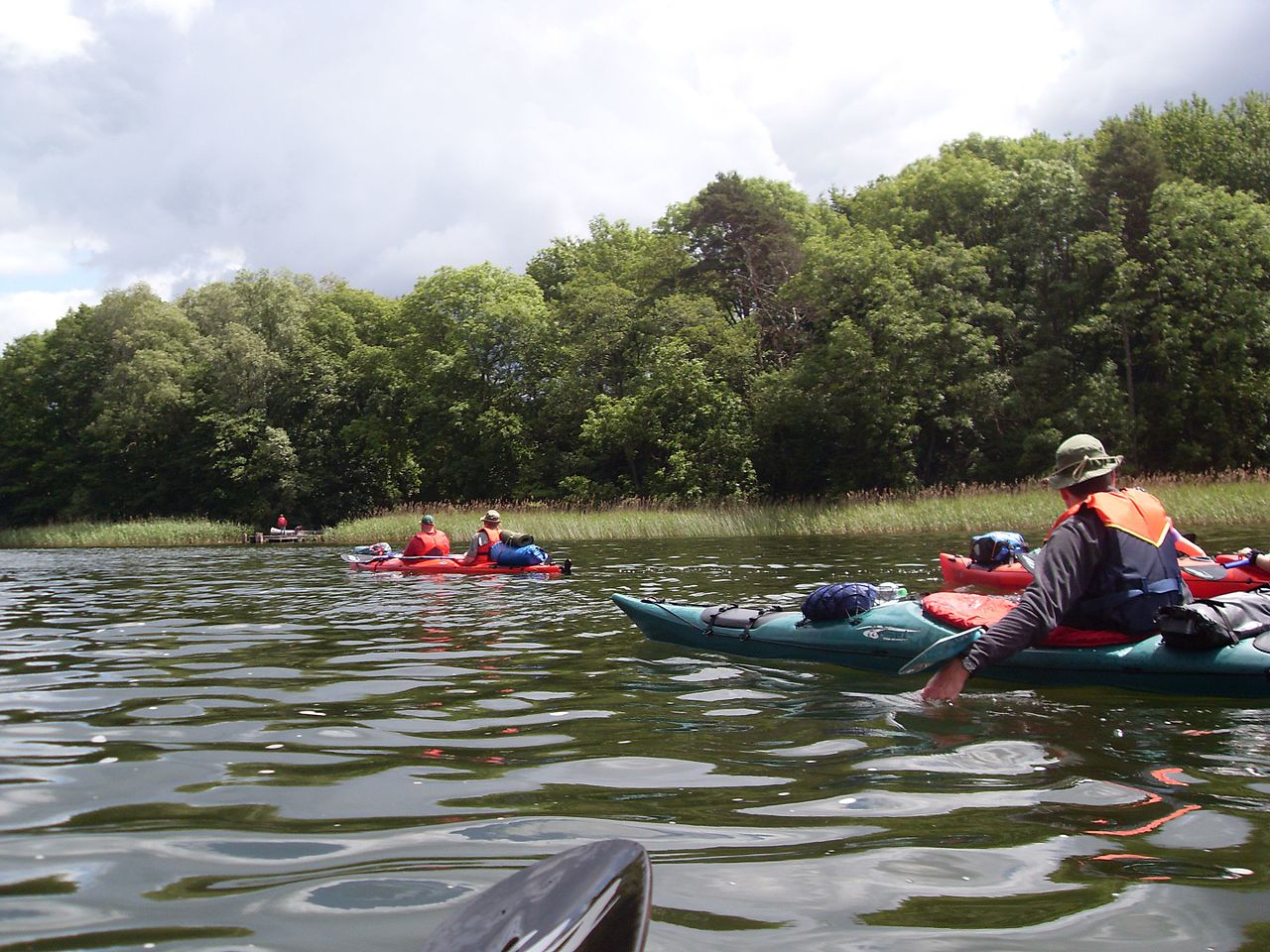
Deutsch: Der Canower See liegt in der Mecklenburgischen Seenplatte 11 Kilometer südöstlich von Mirow und 10 Kilometer südlich von Wesenberg im Süden Mecklenburg-Vorpommerns, an der Grenze zu Brandenburg; diese verläuft am Südufer des Sees. |
| Date | |
| Source | https://www.flickr.com/photos/anfroese/4726996451/in/photolist-8cLkyQ-8cH6mP |
| Author | a. froese |
| Camera location | | View this and other nearby images on: OpenStreetMap |
|---|
Licensing[edit]
This file is licensed under the Creative Commons Attribution-Share Alike 2.0 Generic license.
- You are free:
- to share – to copy, distribute and transmit the work
- to remix – to adapt the work
- Under the following conditions:
- attribution – You must give appropriate credit, provide a link to the license, and indicate if changes were made. You may do so in any reasonable manner, but not in any way that suggests the licensor endorses you or your use.
- share alike – If you remix, transform, or build upon the material, you must distribute your contributions under the same or compatible license as the original.
| This image was originally posted to Flickr by a.froese at https://flickr.com/photos/24533477@N06/4726996451. It was reviewed on 2016-06-17 08:30:53 by FlickreviewR, who found it to be licensed under the terms of the cc-by-sa-2.0, which is compatible with the Commons. It is, however, not the same license as specified on upload, which was the cc-by-2.0, and it is unknown whether that license ever was valid. |
File history
Click on a date/time to view the file as it appeared at that time.
| Date/Time | Thumbnail | Dimensions | User | Comment | |
|---|---|---|---|---|---|
| current | 08:30, 17 June 2016 | | 3,264 × 2,448 (1.97 MB) | FlickreviewR 2 (talk | contribs) | Replacing image by its original image from Flickr |
| 08:30, 17 June 2016 |  | 1,024 × 768 (486 KB) | Biberbaer (talk | contribs) | {{Information |Description ={{de|1=Der Canower See liegt in der Mecklenburgischen Seenplatte 11 Kilometer südöstlich von Mirow und 10 Kilometer südlich von Wesenberg im Süden Mecklenburg-Vorpommerns, an der Grenze zu Brandenburg; diese verläuft... |
You cannot overwrite this file.
File usage on Commons
The following page uses this file:
File usage on other wikis
The following other wikis use this file:
- Usage on arz.wikipedia.org
- Usage on ceb.wikipedia.org
- Usage on de.wikipedia.org
- Usage on en.wikipedia.org
- Usage on es.wikipedia.org
- Usage on www.wikidata.org
- Usage on zh.wikipedia.org