File:Canada Yukon location map-albers proj2.svg
Jump to navigation
Jump to search

Size of this PNG preview of this SVG file: 512 × 581 pixels. Other resolutions: 211 × 240 pixels | 423 × 480 pixels | 677 × 768 pixels | 902 × 1,024 pixels | 1,805 × 2,048 pixels.
Original file (SVG file, nominally 512 × 581 pixels, file size: 444 KB)
Captions
Captions
Add a one-line explanation of what this file represents
Summary[edit]
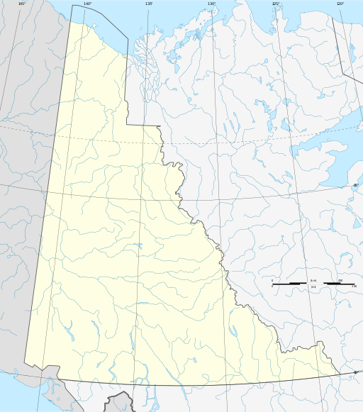
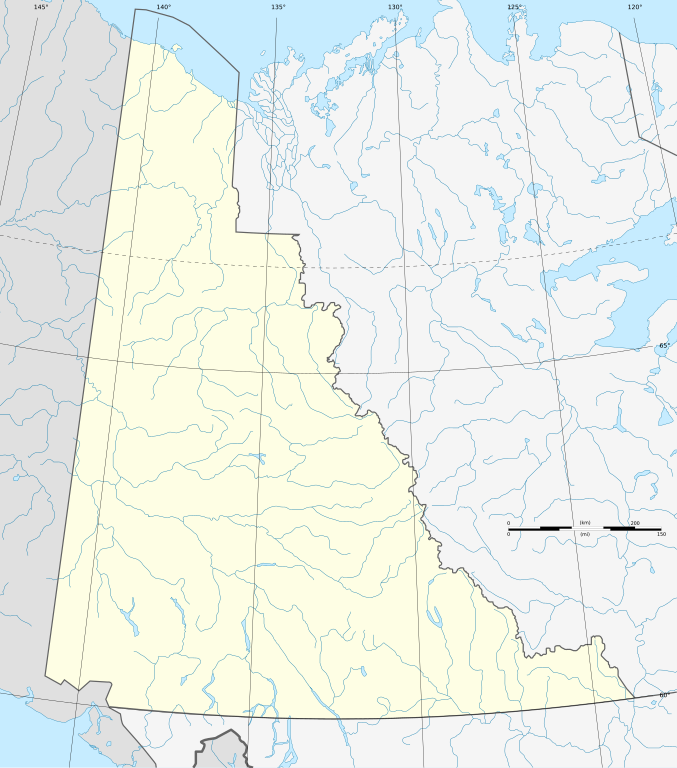
| Description | Albers equal-area conic projection. |
| Date | |
| Source |
This file was derived from: Canada Yukon location map-albers proj.svg |
| Author |
|
Licensing[edit]
I, the copyright holder of this work, hereby publish it under the following license:
This file is licensed under the Creative Commons Attribution-Share Alike 3.0 Unported license.
- You are free:
- to share – to copy, distribute and transmit the work
- to remix – to adapt the work
- Under the following conditions:
- attribution – You must give appropriate credit, provide a link to the license, and indicate if changes were made. You may do so in any reasonable manner, but not in any way that suggests the licensor endorses you or your use.
- share alike – If you remix, transform, or build upon the material, you must distribute your contributions under the same or compatible license as the original.
Original upload log[edit]
This image is a derivative work of the following images:
- File:Canada_Yukon_location_map-albers_proj.svg licensed with Cc-by-sa-3.0
- 2012-08-06T17:20:55Z Flappiefh 512x581 (454698 Bytes)
File history
Click on a date/time to view the file as it appeared at that time.
| Date/Time | Thumbnail | Dimensions | User | Comment | |
|---|---|---|---|---|---|
| current | 08:37, 19 August 2012 | | 512 × 581 (444 KB) | NordNordWest (talk | contribs) | == {{int:filedesc}} == {{Information |Description={{de|1=Positionskarte des Yukon-Territoriums, Kanada}} {{en|1=Blank administrative map of the Yukon territory, Canada, for geo-loc... |
You cannot overwrite this file.
File usage on Commons
The following 3 pages use this file:
File usage on other wikis
The following other wikis use this file:
- Usage on be.wikipedia.org
- Usage on de.wikipedia.org
- Mount Logan
- Teslin Lake
- Tagish Lake
- Kluane Lake
- Shipyard Island (Yukon)
- Bennett Lake (Kanada)
- Herschel Island
- Kluane Icefield
- Keele Peak
- Tombstone Territorial Park
- Wikipedia:Kartenwerkstatt/Positionskarten/Nordamerika
- Spirit Lake (Yukon)
- Alligator Lake Volcanic Complex
- Alligator Lake (Yukon)
- Marsh Lake (Yukon)
- Lake Laberge
- Bluefish-Höhlen
- Goldrausch in Alaska
- Kaskawulsh-Gletscher
- Vorlage:Positionskarte Kanada Yukon
- Fort Reliance (Yukon)
- Kusawa Lake
- Aishihik Lake
- Dezadeash Lake
- Kathleen Lake
- Sekulmun Lake
- Quiet Lake (Yukon)
- Little Salmon Lake
- Wolf Lake (Yukon)
- Little Atlin Lake
- Herschel Island – Qikiqtaruk Territorial Park
- Coal River Springs Territorial Park
- Ni'iinlii Njik (Fishing Branch) Territorial Park
- Benutzer:Paddelschlag/Lowell Lake
- Mount Vancouver (Nordamerika)
- Mayo Lake
- Big Kalzas Lake
- Ethel Lake (Yukon)
- Drury Lake
- Wellesley Lake
- Frances Lake
- Finlayson Lake
- Tetlʼámǟn
- Fish Lake (Whitehorse)
- Pinnacle Peak (Yukon)
- King Peak (Yukon)
- Mount Kennedy
- Mount King George
View more global usage of this file.