File:Calvados department location map.svg
Jump to navigation
Jump to search

Size of this PNG preview of this SVG file: 800 × 559 pixels. Other resolutions: 320 × 223 pixels | 640 × 447 pixels | 1,024 × 715 pixels | 1,280 × 894 pixels | 2,560 × 1,788 pixels | 1,369 × 956 pixels.
Original file (SVG file, nominally 1,369 × 956 pixels, file size: 258 KB)
Captions
Captions
Add a one-line explanation of what this file represents
Summary
[edit]| Camera location | | View this and other nearby images on: OpenStreetMap |
|---|
| Description |
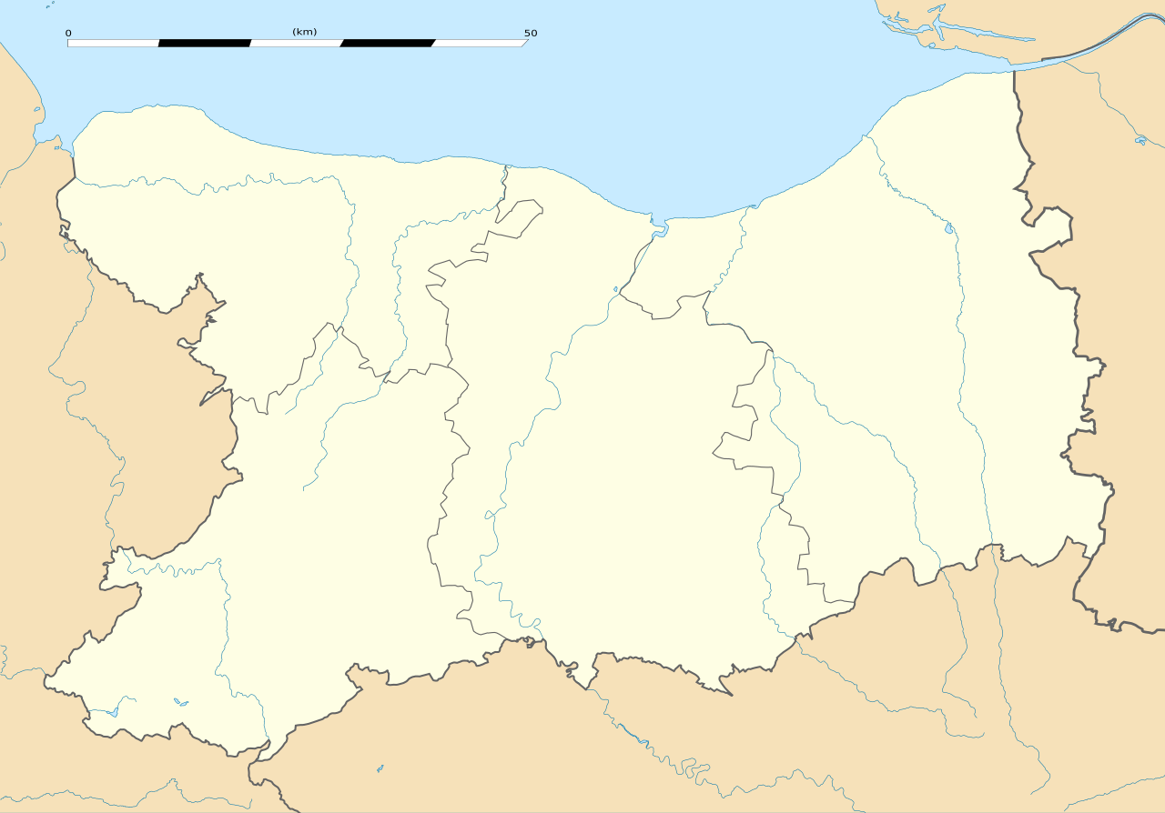
Français : Carte administrative vierge du département du Calvados, France, destinée à la géolocalisation. Estimated scale: 1:400,000 (precision: 100 m)
Geographic limits of the map:
|
||
| Date | |||
| Source |
Own work
|
||
| Author | Eric Gaba (Sting - fr:Sting) | ||
| Permission (Reusing this file) |
|
||
| Other versions |
|

Licensing
[edit]
I, the copyright holder of this work, hereby publish it under the following license:
This file is licensed under the Creative Commons Attribution-Share Alike 3.0 Unported license.
- You are free:
- to share – to copy, distribute and transmit the work
- to remix – to adapt the work
- Under the following conditions:
- attribution – You must give appropriate credit, provide a link to the license, and indicate if changes were made. You may do so in any reasonable manner, but not in any way that suggests the licensor endorses you or your use.
- share alike – If you remix, transform, or build upon the material, you must distribute your contributions under the same or compatible license as the original.
File history
Click on a date/time to view the file as it appeared at that time.
| Date/Time | Thumbnail | Dimensions | User | Comment | |
|---|---|---|---|---|---|
| current | 12:59, 27 February 2017 | | 1,369 × 956 (258 KB) | Pymouss (talk | contribs) | Update (arrondissements) |
| 12:11, 22 February 2010 |  | 1,369 × 956 (267 KB) | Sting (talk | contribs) | Colour correction | |
| 21:53, 20 February 2010 |  | 1,369 × 956 (271 KB) | Sting (talk | contribs) | == {{int:filedesc}} == {{Location|49|06|00|N|00|21|00|W|scale:300000}} <br/> {{Information |Description={{en|Blank administrative map of the department of Calvados, France, for geo-location pur |
You cannot overwrite this file.
File usage on Commons
The following 4 pages use this file:
File usage on other wikis
The following other wikis use this file:
- Usage on als.wikipedia.org
- Usage on de.wikipedia.org
- Usage on el.wikipedia.org
- Usage on en.wikipedia.org
- Usage on eo.wikipedia.org
- Falaise (Kalvadoso)
- Lisieux
- Ŝablono:Situo sur mapo Francio Calvados
- Baziliko Notre-Dame de la Délivrande
- Douvres-la-Délivrande
- Creully
- Langrune-sur-Mer
- Saint-Aubin-sur-Mer (Kalvadoso)
- Honfleur
- Kapelo Notre-Dame de Fidélité (Douvres-la-Délivrande)
- Vire
- Flughaveno Caen - Carpiquet
- Ponto Pegasus
- Ifs
- Ouistreham
- Hermanville-sur-Mer
- Cabourg
- Périers-sur-le-Dan
- Plumetot
- Cresserons
- Anguerny
- Ranville
- Merville-Franceville-Plage
- Sallenelles
- Saint-Aubin-d'Arquenay
- Saint-Gabriel-Brécy
- Villiers-le-Sec (Calvados)
- Tierceville
- Amblie
- Lantheuil
- Épron
- Rots
- Deauville
- Trouville-sur-Mer
- Évrecy
- Cuverville (Kalvadoso)
- Potigny
- Soumont-Saint-Quentin
- Sannerville
View more global usage of this file.