File:California State Route 37 near Sears Point.png
Jump to navigation
Jump to search
No higher resolution available.
California_State_Route_37_near_Sears_Point.png (640 × 359 pixels, file size: 345 KB, MIME type: image/png)
Captions
Captions
Add a one-line explanation of what this file represents
Summary[edit]
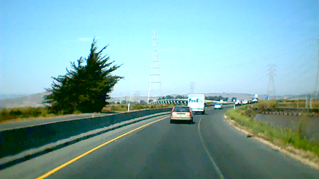
| Description | Westbound California State Route 37 through the wetlands of the San Pablo Bay. This stretch of road was dubbed "blood alley" for its high rate of fatal accidents before the barrier was erected. |
| Date | |
| Source | Own work |
| Author | Leon Bacud |
| Permission (Reusing this file) |
This image is subject to the following licenses. |
Licensing[edit]
I, the copyright holder of this work, hereby publish it under the following licenses:

|
Permission is granted to copy, distribute and/or modify this document under the terms of the GNU Free Documentation License, Version 1.2 or any later version published by the Free Software Foundation; with no Invariant Sections, no Front-Cover Texts, and no Back-Cover Texts. A copy of the license is included in the section entitled GNU Free Documentation License. |
| This file is licensed under the Creative Commons Attribution-Share Alike 3.0 Unported license. | ||
| ||
| This licensing tag was added to this file as part of the GFDL licensing update. |
This file is licensed under the Creative Commons Attribution 2.5 Generic license.
- You are free:
- to share – to copy, distribute and transmit the work
- to remix – to adapt the work
- Under the following conditions:
- attribution – You must give appropriate credit, provide a link to the license, and indicate if changes were made. You may do so in any reasonable manner, but not in any way that suggests the licensor endorses you or your use.
You may select the license of your choice.
File history
Click on a date/time to view the file as it appeared at that time.
| Date/Time | Thumbnail | Dimensions | User | Comment | |
|---|---|---|---|---|---|
| current | 06:00, 19 August 2006 | | 640 × 359 (345 KB) | WikiLeon (talk | contribs) | {{Information |Description= Westbound w:California State Route 37 through the wetlands of the w:San Pablo Bay. This stretch of road was dubbed "blood alley" for its high rate of fatal accidents before the barrier was erected. |Source= Self Creat |
You cannot overwrite this file.
File usage on Commons
The following 3 pages use this file:
File usage on other wikis
The following other wikis use this file:
- Usage on en.wikipedia.org
- Usage on nl.wikipedia.org
- Usage on www.wikidata.org