File:Calanques -- Cassis-La Ciotat.jpg

Original file (5,016 × 3,344 pixels, file size: 12.28 MB, MIME type: image/jpeg)
Captions
Captions
| Camera location | | View this and other nearby images on: OpenStreetMap |
|---|
| Description |
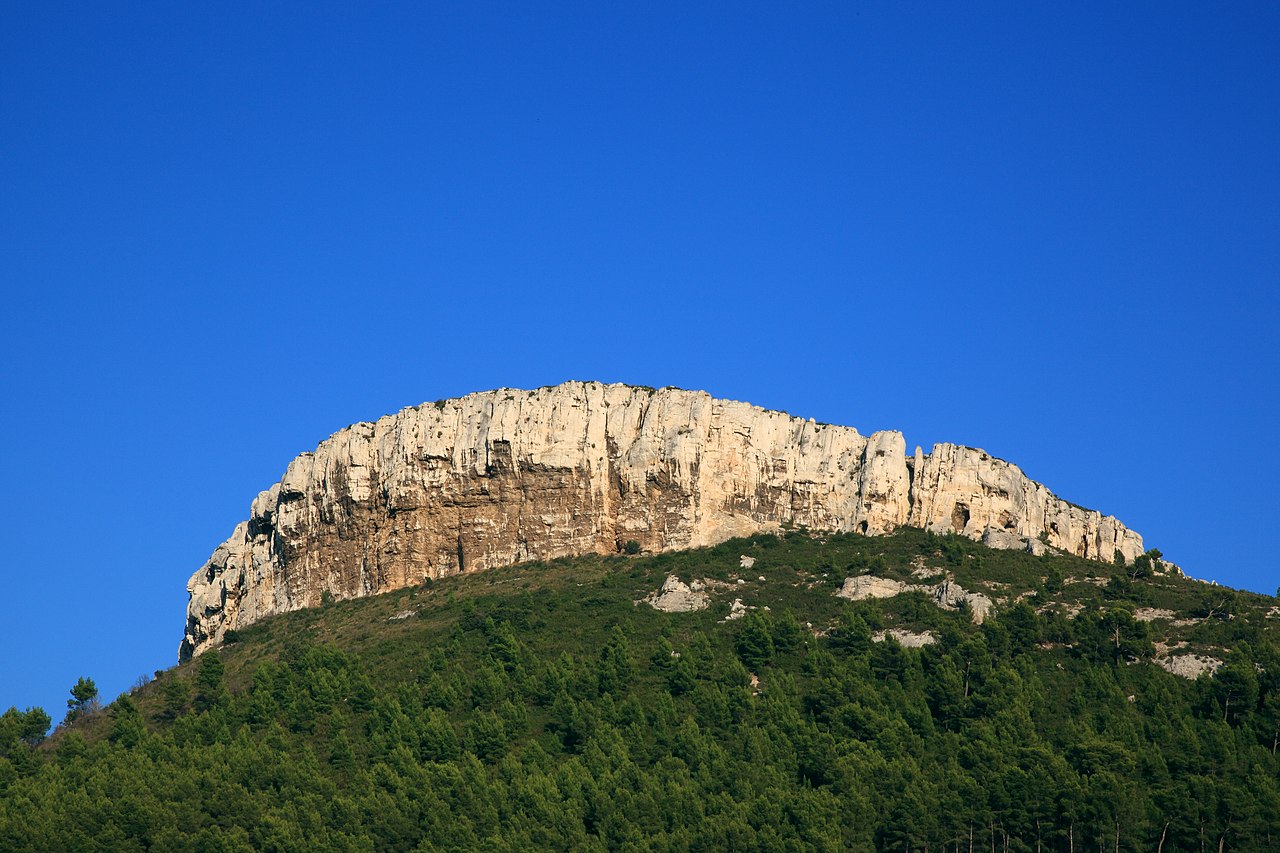
Français : La Couronne de Charlemagne, falaise dominant Cassis. |
||
| Date | |||
| Source | Own work | ||
| Author | |||
| Permission (Reusing this file) |
Deutsch: Lizenz: CC BY-SA 3.0 oder LAL.
Ich würde mich sehr über die Zusendung eines Belegexemplares bzw. der Angabe der Internetseite, wo das Foto benutzt wird, freuen. Vielen Dank! Kontakt: photos@spacebirdy.org English: Licence: CC BY-SA 3.0 or FAL.
I would be happy to receive a specimen copy or the URL of the website where the image is used, kind thanks. Contact: photos@spacebirdy.org Español: Licencia: CC BY-SA 3.0 o LAL.
Me alegraría si me mande un ejemplar de prueba o me deje saber dónde está usando la imagen, muchas gracias. Contacto: photos@spacebirdy.org Français : Licence: CC BY-SA 3.0 ou LAL.
Naturellement je serais trés heureuse de recevoir un exemplaire justificatif ou être informée d'où la photo est utilisée sur l'internet. Merci beaucoup! Contact: photos@spacebirdy.org Íslenska: Leyfi: CC BY-SA 3.0 eða FAL.
Það væri svo frábært að senda mér sýnisútgáfu eða að láta mig vita á hvaða vefsíðu þú ert að nota myndina, takk fyrir. Hafa samband: photos@spacebirdy.org I, the copyright holder of this work, hereby publish it under the following licenses: This file is licensed under the Creative Commons Attribution-Share Alike 3.0 Unported license.
You may select the license of your choice. |
||
| Other versions | User:Spacebirdy/Myndir |
File history
Click on a date/time to view the file as it appeared at that time.
| Date/Time | Thumbnail | Dimensions | User | Comment | |
|---|---|---|---|---|---|
| current | 08:42, 15 March 2015 | | 5,016 × 3,344 (12.28 MB) | Spacebirdy (talk | contribs) | |
| 07:58, 13 October 2014 |  | 5,016 × 3,344 (12.28 MB) | Spacebirdy (talk | contribs) | {{Location dec|43.220130|5.567318}} {{Information | Description = {{de|Zwischen Cassis und La Ciotat, Frankreich. {{#invoke:Coordinates| GeoHack_link | lat=43.21978243 | lon=5.57268620}}}} | Sourc... |
You cannot overwrite this file.
File usage on Commons
The following page uses this file:
File usage on other wikis
The following other wikis use this file:
- Usage on el.wikipedia.org
- Usage on fr.wikipedia.org