File:CT-15 map.png
Jump to navigation
Jump to search

Size of this preview: 800 × 585 pixels. Other resolutions: 320 × 234 pixels | 640 × 468 pixels | 1,024 × 749 pixels | 1,280 × 936 pixels | 1,750 × 1,280 pixels.
Original file (1,750 × 1,280 pixels, file size: 60 KB, MIME type: image/png)
Captions
Captions
Add a one-line explanation of what this file represents
Summary
[edit]
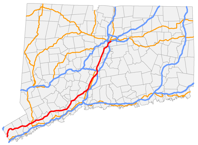
| Description | Map of Connecticut Route 15 |
| Date | 9 August 2006 (original upload date) |
| Source | Transferred from en.wikipedia to Commons. |
| Author | Polaron at English Wikipedia |
Licensing
[edit]
| This work has been released into the public domain by its author, Polaron at English Wikipedia. This applies worldwide. In some countries this may not be legally possible; if so: Polaron grants anyone the right to use this work for any purpose, without any conditions, unless such conditions are required by law. |
Original upload log
[edit]
The original description page was here. All following user names refer to en.wikipedia.
- 2006-08-09 00:58 Polaron 335×238×8 (8184 bytes)
File history
Click on a date/time to view the file as it appeared at that time.
| Date/Time | Thumbnail | Dimensions | User | Comment | |
|---|---|---|---|---|---|
| current | 01:56, 31 January 2009 | | 1,750 × 1,280 (60 KB) | Polaron~commonswiki (talk | contribs) | Re-rendered for compatibility with WP:USRD/MTF |
| 13:37, 18 August 2007 |  | 335 × 238 (8 KB) | Karlhahn (talk | contribs) | {{Information |Description=''no original description'' |Source=Originally from [http://en.wikipedia.org en.wikipedia]; description page is/was [http://en.wikipedia.org/w/index.php?title=Image%3ACT-15_map.png here]. |Date=2006-08-09 (original upload date) |
You cannot overwrite this file.
File usage on Commons
The following page uses this file:
File usage on other wikis
The following other wikis use this file:
- Usage on www.wikidata.org