File:CAN QC 02 Le Rocher-Percé.svg
Jump to navigation
Jump to search

Size of this PNG preview of this SVG file: 800 × 543 pixels. Other resolutions: 320 × 217 pixels | 640 × 434 pixels | 1,024 × 695 pixels | 1,280 × 869 pixels | 2,560 × 1,737 pixels | 1,058 × 718 pixels.
Original file (SVG file, nominally 1,058 × 718 pixels, file size: 12.55 MB)
Captions
Captions
Add a one-line explanation of what this file represents
Summary
[edit]
| Description |
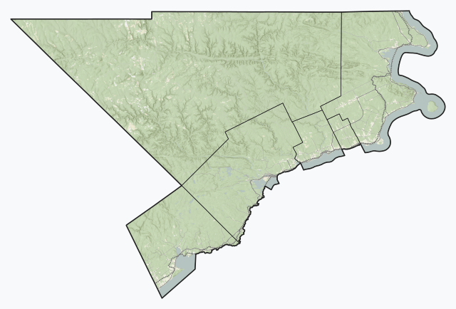
Experimental SVG overview of Quebec regional county municipalities using open CEC Landsat-derived land cover data (2010) to generate a naturalistic colour scheme. More information here. Vector features are from Statistics Canada and Données Québec, accessed July 21, 2019. Indian reserves are depicted with a red shapeburst fill. This W3C-invalid vector image was created with QGIS. |
| Date | |
| Source | Own work |
| Author | awmcphee |
Licensing
[edit]
I, the copyright holder of this work, hereby publish it under the following license:
| This file is made available under the Creative Commons CC0 1.0 Universal Public Domain Dedication. | |
| The person who associated a work with this deed has dedicated the work to the public domain by waiving all of their rights to the work worldwide under copyright law, including all related and neighboring rights, to the extent allowed by law. You can copy, modify, distribute and perform the work, even for commercial purposes, all without asking permission.
|
File history
Click on a date/time to view the file as it appeared at that time.
| Date/Time | Thumbnail | Dimensions | User | Comment | |
|---|---|---|---|---|---|
| current | 18:58, 25 October 2019 | | 1,058 × 718 (12.55 MB) | Awmcphee (talk | contribs) |
You cannot overwrite this file.
File usage on Commons
The following page uses this file:
File usage on other wikis
The following other wikis use this file:
- Usage on en.wikipedia.org
- Usage on si.wikipedia.org
- Usage on uz.wikipedia.org