File:Bullskin Creek Site from highway.jpg
Jump to navigation
Jump to search

Size of this preview: 800 × 450 pixels. Other resolutions: 320 × 180 pixels | 640 × 360 pixels | 1,024 × 576 pixels | 1,280 × 720 pixels | 2,816 × 1,584 pixels.
Original file (2,816 × 1,584 pixels, file size: 1.39 MB, MIME type: image/jpeg)
Captions
Captions
Add a one-line explanation of what this file represents
|
This is an image of a place or building that is listed on the National Register of Historic Places in the United States of America. Its reference number is 78002022. |
| Camera location | | View this and other nearby images on: OpenStreetMap |
|---|
| Description |
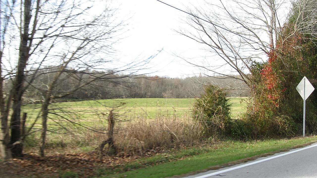
English: Open land in Franklin Township, Clermont County, Ohio, United States, seen looking northwest from State Route 133. The fields compose the Bullskin Creek Site, an archaeological site from the Late Archaic period that is listed on the National Register of Historic Places. |
||
| Date | Taken on 23 November 2013 | ||
| Source | Own work | ||
| Author | Nyttend | ||
| Permission (Reusing this file) |
|
||
| Other versions | None |
File history
Click on a date/time to view the file as it appeared at that time.
| Date/Time | Thumbnail | Dimensions | User | Comment | |
|---|---|---|---|---|---|
| current | 03:12, 25 December 2013 | | 2,816 × 1,584 (1.39 MB) | Nyttend (talk | contribs) | {{NRHP|78002022}} {{Location|38|46|50|N|84|5|25|W}} {{Information |Description={{en|Open land in {{w|Franklin Township, Clermont County, Ohio|Franklin Township}}, {{w|Clermont County, Ohio|Clermont County}}, {{w|Ohio}}, {{w|United States}}, seen lookin... |
You cannot overwrite this file.
File usage on Commons
There are no pages that use this file.
File usage on other wikis
The following other wikis use this file:
- Usage on en.wikipedia.org
- Usage on www.wikidata.org