File:Budapest map.png
Jump to navigation
Jump to search

Size of this preview: 628 × 600 pixels. Other resolutions: 251 × 240 pixels | 502 × 480 pixels | 740 × 707 pixels.
Original file (740 × 707 pixels, file size: 601 KB, MIME type: image/png)
Captions
Captions
Add a one-line explanation of what this file represents
Summary[edit]
| Description |
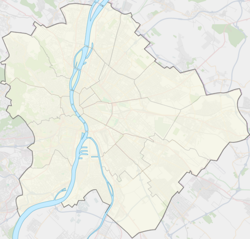
English: Map of Budapest Coordinates: S: 47.349755° W: 18.924935° E: 19.338735° |
| Date | |
| Source | Own work |
| Author | Babylonien86 |
Licensing[edit]
I, the copyright holder of this work, hereby publish it under the following license:
This file is licensed under the Creative Commons Attribution-Share Alike 3.0 Unported license.
- You are free:
- to share – to copy, distribute and transmit the work
- to remix – to adapt the work
- Under the following conditions:
- attribution – You must give appropriate credit, provide a link to the license, and indicate if changes were made. You may do so in any reasonable manner, but not in any way that suggests the licensor endorses you or your use.
- share alike – If you remix, transform, or build upon the material, you must distribute your contributions under the same or compatible license as the original.
File history
Click on a date/time to view the file as it appeared at that time.
| Date/Time | Thumbnail | Dimensions | User | Comment | |
|---|---|---|---|---|---|
| current | 16:39, 12 August 2011 | | 740 × 707 (601 KB) | Ludó (talk | contribs) |
You cannot overwrite this file.
File usage on Commons
There are no pages that use this file.
File usage on other wikis
The following other wikis use this file:
- Usage on bg.wikipedia.org
- Usage on fr.wikipedia.org
- Collège Tibor Liska
- Université germanophone Gyula-Andrássy de Budapest
- Université théologique évangélique luthérienne
- Université réformée Gáspár-Károli
- Modèle:Arrondissements de Budapest
- Institut Balassi
- Port franc de Budapest
- Musée ethnographique (Budapest)
- Memento Park
- Grandes halles de Batthyány tér
- WestEnd City Center
- Corvin (centre commercial)
- Shopmark (centre commercial)
- Belvédère Élisabeth
- Office central de statistiques (Hongrie)
- École générale de management
- École supérieure de communication et de commerce de Budapest
- École supérieure Dénes Gábor
- Mausolée Törley
- Château Sacelláry
- Château Törley
- Module:Carte/données/budapest
- Centre national d'athlétisme (Budapest)
- Usage on it.wikipedia.org
- Stazione di Budapest Est
- Széll Kálmán tér (metropolitana di Budapest)
- Oktogon (metropolitana di Budapest)
- Deák Ferenc tér (metropolitana di Budapest)
- Mexikói út (metropolitana di Budapest)
- Vörösmarty tér (metropolitana di Budapest)
- Opera (metropolitana di Budapest)
- Vörösmarty utca (metropolitana di Budapest)
- Széchenyi fürdő (metropolitana di Budapest)
- Hősök tere (metropolitana di Budapest)
- Keleti pályaudvar (metropolitana di Budapest)
- Bajcsy-Zsilinszky út (metropolitana di Budapest)
- Bajza utca (metropolitana di Budapest)
- Kodály körönd (metropolitana di Budapest)
- Stazione di Budapest Ovest
- Déli pályaudvar (metropolitana di Budapest)
- Arany János utca (metropolitana di Budapest)
- Nyugati pályaudvar (metropolitana di Budapest)
- Kossuth Lajos tér (metropolitana di Budapest)
- Ferenciek tere (metropolitana di Budapest)
- Astoria (metropolitana di Budapest)
- Kőbánya-Kispest (metropolitana di Budapest)
View more global usage of this file.