File:Bridgend railway station from the footbridge in 2009.jpg
Jump to navigation
Jump to search
No higher resolution available.
Bridgend_railway_station_from_the_footbridge_in_2009.jpg (640 × 363 pixels, file size: 52 KB, MIME type: image/jpeg)
Captions
Captions
Add a one-line explanation of what this file represents
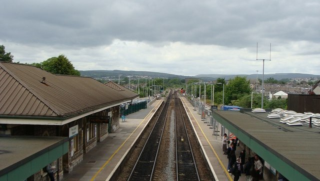
| Description | Bridgend railway station from the footbridge | ||
| Date | |||
| Source | From geograph.org.uk | ||
| Author | Ruth Sharville | ||
| Permission (Reusing this file) |
This file is licensed under the Creative Commons Attribution-Share Alike 2.0 Generic license. Attribution: Ruth Sharville
|
||
| Attribution (required by the license) | Ruth Sharville / Bridgend station and railway from the footbridge / | ||

| Camera location | | View this and other nearby images on: OpenStreetMap |
|---|
File history
Click on a date/time to view the file as it appeared at that time.
| Date/Time | Thumbnail | Dimensions | User | Comment | |
|---|---|---|---|---|---|
| current | 21:01, 10 September 2009 | | 640 × 363 (52 KB) | Edward (talk | contribs) | ==Summary== {{Location dec|51.506992|-3.575118|heading:337}} {{Information |Description=w:Bridgend railway station Original description: '''Bridgend station and railway from the footbridge''' |Source=From [http://www.geograph.org.uk/photo/1363180 g |
You cannot overwrite this file.
File usage on Commons
There are no pages that use this file.
File usage on other wikis
The following other wikis use this file:
- Usage on pl.wikipedia.org