File:Bowles's New pocket guide through England & Wales - comprehending all the great & principal cross roads, with the distances on each measured in miles. LOC 85695477.jpg
Jump to navigation
Jump to search
Size of this preview: 752 × 600 pixels. Other resolutions: 301 × 240 pixels | 602 × 480 pixels | 963 × 768 pixels | 1,280 × 1,020 pixels | 2,560 × 2,041 pixels | 7,734 × 6,166 pixels.
Original file (7,734 × 6,166 pixels, file size: 6.38 MB, MIME type: image/jpeg)
Captions
Captions
Add a one-line explanation of what this file represents
Summary
[edit]| Description |
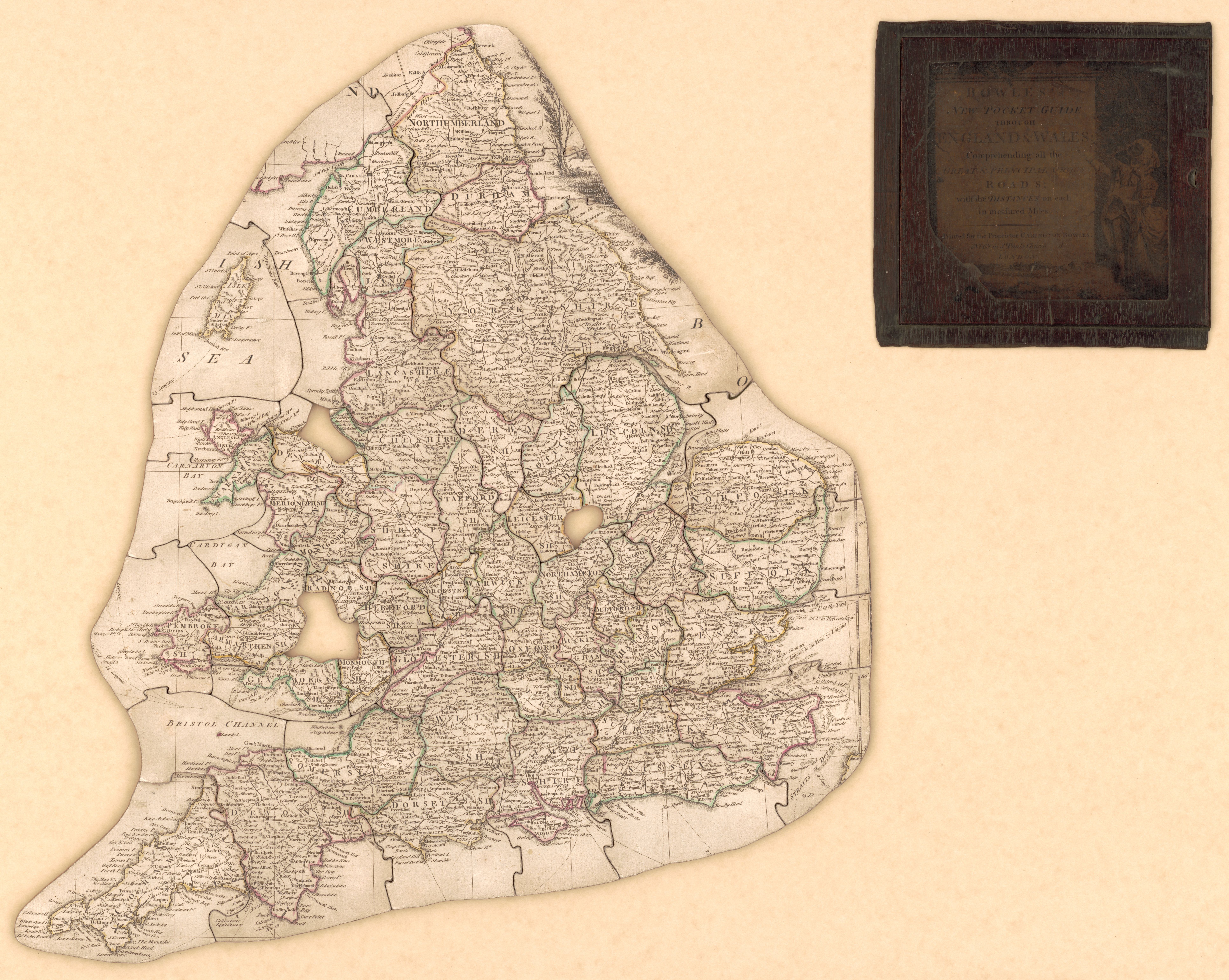
English: Relief shown pictorially. Title from label affixed to box lid. Title on label affixed to box front: England. LC copy imperfect: Three pieces missing. Puzzle outline irregular. Available also through the Library of Congress Web site as a raster image. Vault Shelf |
||
| Title | Bowles's New pocket guide through England & Wales : comprehending all the great & principal cross roads, with the distances on each measured in miles. | ||
| Shelf ID | G5751.P2 1780 .B6 | ||
| Date | |||
| Source | https://www.loc.gov/item/85695477/ | ||
| Author | Bowles, Carington | ||
| Permission (Reusing this file) |
|
||
| Other versions |
|
||
| Location | Wales · England | ||
| Part of | American Memory · General Maps · Catalog · Geography And Map Division | ||
| Subject | Jigsaw Puzzles · England · Maps · Early Works To 1800 · Roads · Wales |


Licensing
[edit]
|
This is a faithful photographic reproduction of a two-dimensional, public domain work of art. The work of art itself is in the public domain for the following reason:
The official position taken by the Wikimedia Foundation is that "faithful reproductions of two-dimensional public domain works of art are public domain".
This photographic reproduction is therefore also considered to be in the public domain in the United States. In other jurisdictions, re-use of this content may be restricted; see Reuse of PD-Art photographs for details. | ||||
File history
Click on a date/time to view the file as it appeared at that time.
| Date/Time | Thumbnail | Dimensions | User | Comment | |
|---|---|---|---|---|---|
| current | 15:51, 18 May 2018 | | 7,734 × 6,166 (6.38 MB) | Fæ (talk | contribs) | LOC Maps https://www.loc.gov/item/85695477/ #10837 |
You cannot overwrite this file.
File usage on Commons
The following page uses this file: