File:Blank Map of the Republic of Ireland and the 4 British islands in British territory.png
Jump to navigation
Jump to search
Size of this preview: 459 × 600 pixels. Other resolutions: 184 × 240 pixels | 600 × 784 pixels.
Original file (600 × 784 pixels, file size: 8 KB, MIME type: image/png)
Captions
Captions
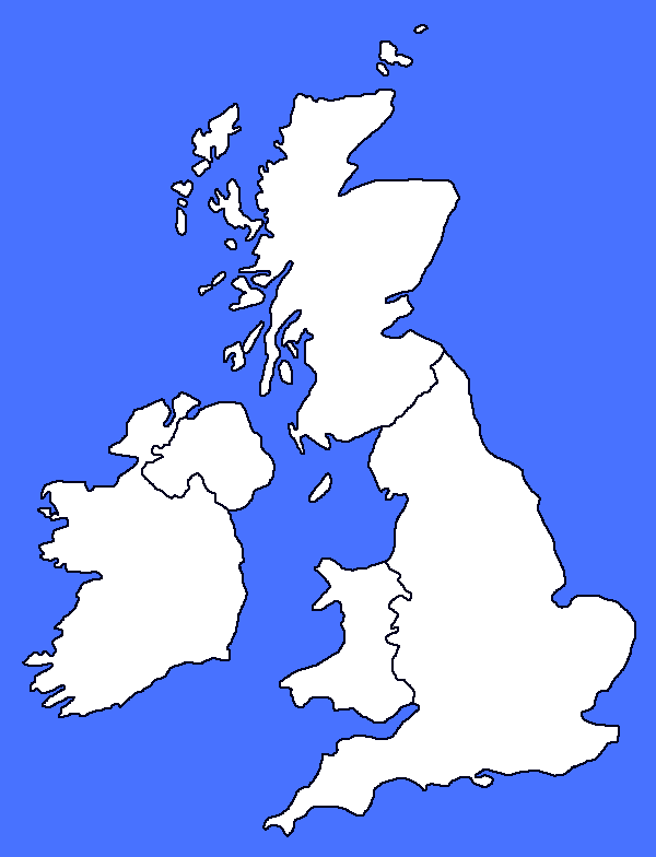
Blank Map of the Republic of Ireland and the 4 British islands in British territory.
Summary[edit]
| Description |
English: This is a blank map of the United Kingdom and Ireland Map with the 4 British Isles in the British territory and using paint.net. |
| Date | |
| Source | Own work |
| Author | GuilhermeGolvino |
Licensing[edit]
I, the copyright holder of this work, hereby publish it under the following license:
This file is licensed under the Creative Commons Attribution 4.0 International license.
- You are free:
- to share – to copy, distribute and transmit the work
- to remix – to adapt the work
- Under the following conditions:
- attribution – You must give appropriate credit, provide a link to the license, and indicate if changes were made. You may do so in any reasonable manner, but not in any way that suggests the licensor endorses you or your use.
File history
Click on a date/time to view the file as it appeared at that time.
| Date/Time | Thumbnail | Dimensions | User | Comment | |
|---|---|---|---|---|---|
| current | 23:42, 8 January 2024 | | 600 × 784 (8 KB) | GuilhermeGolvino (talk | contribs) | Uploaded own work with UploadWizard |
You cannot overwrite this file.
File usage on Commons
There are no pages that use this file.