File:Blank Map Germany States.png
Jump to navigation
Jump to search
Size of this preview: 422 × 599 pixels. Other resolutions: 169 × 240 pixels | 338 × 480 pixels | 778 × 1,104 pixels.
Original file (778 × 1,104 pixels, file size: 20 KB, MIME type: image/png)
Captions
Captions
Add a one-line explanation of what this file represents
Summary[edit]
| Description |
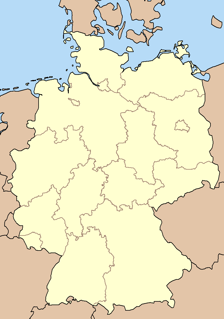
English: Map of Germany with the boundaries of the Bundesländer. |
| Date | 9 March 2004 (original upload date) |
| Source | Own work |
| Author | Ahoerstemeier (Later version was uploaded by Postmann Michael) |
Licensing[edit]
| This file is licensed under the Creative Commons Attribution-Share Alike 3.0 Unported license. Subject to disclaimers. | ||
| ||
| This licensing tag was added to this file as part of the GFDL licensing update. |

|
Permission is granted to copy, distribute and/or modify this document under the terms of the GNU Free Documentation License, Version 1.2 or any later version published by the Free Software Foundation; with no Invariant Sections, no Front-Cover Texts, and no Back-Cover Texts. A copy of the license is included in the section entitled GNU Free Documentation License. Subject to disclaimers. |
Original upload log[edit]
The original description page was here. All following user names refer to en.wikipedia.
- 2007-01-09 02:05 Postmann Michael 778×1104× (20789 bytes) western boundary of Mecklenburg was incorrect
- 2004-06-28 20:13 Ahoerstemeier 778×1104× (20526 bytes) north-western boundary of Brandenburg was incorrect (version lost by MediaWiki)
- 2004-03-09 23:32 Ahoerstemeier 778×1104× (20543 bytes) Map of Germany with the boundaries of the Bundesländer (version lost by MediaWiki)
File history
Click on a date/time to view the file as it appeared at that time.
| Date/Time | Thumbnail | Dimensions | User | Comment | |
|---|---|---|---|---|---|
| current | 03:37, 29 December 2011 | | 778 × 1,104 (20 KB) | File Upload Bot (Magnus Manske) (talk | contribs) | {{BotMoveToCommons|en.wikipedia|year={{subst:CURRENTYEAR}}|month={{subst:CURRENTMONTHNAME}}|day={{subst:CURRENTDAY}}}} {{Information |Description={{en|Map of Germany with the boundaries of the Bundesländer. Created myself.}} |Source=Transferred from [ht |
You cannot overwrite this file.
File usage on Commons
There are no pages that use this file.