File:Bentangan Halaman Puncak.jpg
Jump to navigation
Jump to search
Size of this preview: 800 × 252 pixels. Other resolutions: 320 × 101 pixels | 640 × 202 pixels | 1,024 × 323 pixels | 1,280 × 404 pixels | 2,560 × 807 pixels | 7,664 × 2,416 pixels.
Original file (7,664 × 2,416 pixels, file size: 6.75 MB, MIME type: image/jpeg)
Captions
Captions
Add a one-line explanation of what this file represents
Summary[edit]
| Description |
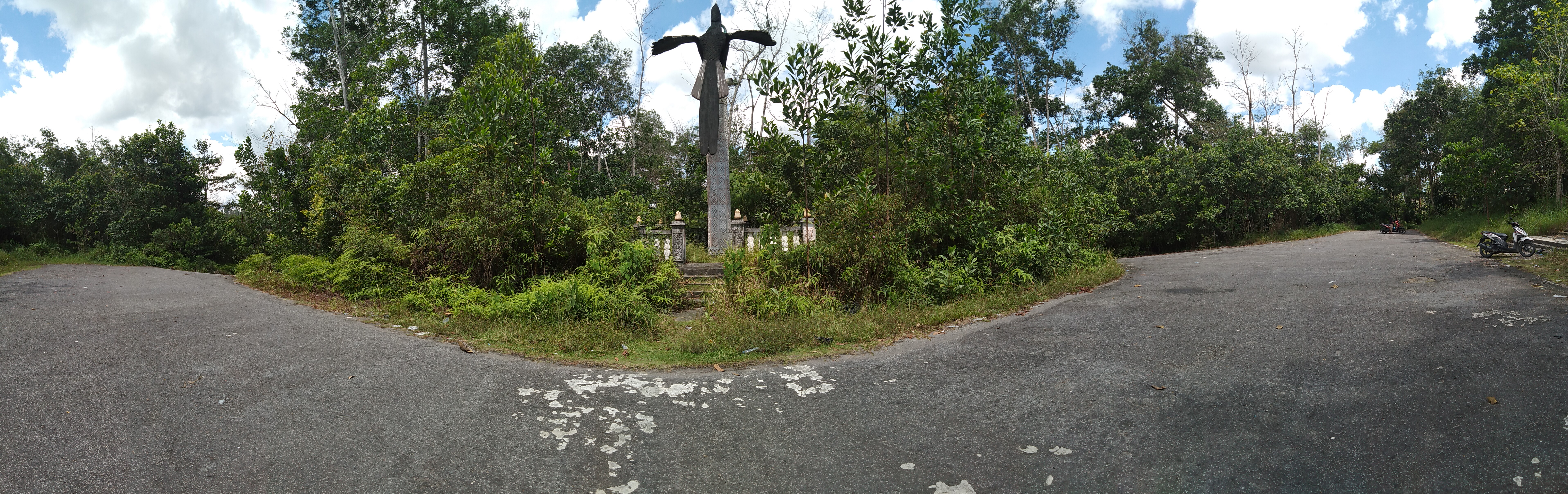
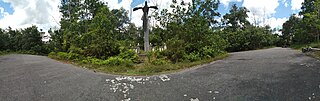
Bahasa Indonesia: Patung Burung Enggang tampak jelas, dan tampak arah jalan masuk disebelah kanan, jalan keluar disebelah kiri. |
| Date | |
| Source | Own work |
| Author | Yolanda Bru Ginting |
| Camera location | | View this and other nearby images on: OpenStreetMap |
|---|
Puncak Penghijauan dan Konservasi Alam Nasional Desa Mandor, Kecamatan Mandor, Kabupaten Landak, Kalimantan Barat, Indonesia
Licensing[edit]
I, the copyright holder of this work, hereby publish it under the following license:
This file is licensed under the Creative Commons Attribution-Share Alike 4.0 International license.
- You are free:
- to share – to copy, distribute and transmit the work
- to remix – to adapt the work
- Under the following conditions:
- attribution – You must give appropriate credit, provide a link to the license, and indicate if changes were made. You may do so in any reasonable manner, but not in any way that suggests the licensor endorses you or your use.
- share alike – If you remix, transform, or build upon the material, you must distribute your contributions under the same or compatible license as the original.
This image was uploaded as part of Wiki Loves Earth 2020.
|
 |

File history
Click on a date/time to view the file as it appeared at that time.
| Date/Time | Thumbnail | Dimensions | User | Comment | |
|---|---|---|---|---|---|
| current | 14:56, 31 May 2020 | 7,664 × 2,416 (6.75 MB) | Yolanda Bru Ginting (talk | contribs) | Uploaded own work with UploadWizard |
You cannot overwrite this file.
File usage on Commons
There are no pages that use this file.