File:Beniguet coast north east point.jpg
Jump to navigation
Jump to search

Size of this preview: 800 × 533 pixels. Other resolutions: 320 × 213 pixels | 640 × 427 pixels | 1,024 × 683 pixels | 1,280 × 853 pixels | 2,560 × 1,707 pixels | 3,456 × 2,304 pixels.
Original file (3,456 × 2,304 pixels, file size: 3.83 MB, MIME type: image/jpeg)
Captions
Captions
Add a one-line explanation of what this file represents
Summary
[edit]
| Description |
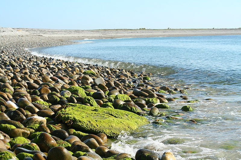
English: Coastline of Beniguet island as seen from its north-eastern point.
Français : Littoral de Béniguet vu de sa pointe nord-est |
| Date | Taken on 23 July 2006 |
| Source | Self-photographed |
| Author | Julien Carnot |
| Camera location | | View this and other nearby images on: OpenStreetMap |
|---|
Licensing
[edit]
I, the copyright holder of this work, hereby publish it under the following license:
This file is licensed under the Creative Commons Attribution-Share Alike 3.0 Unported license.
- You are free:
- to share – to copy, distribute and transmit the work
- to remix – to adapt the work
- Under the following conditions:
- attribution – You must give appropriate credit, provide a link to the license, and indicate if changes were made. You may do so in any reasonable manner, but not in any way that suggests the licensor endorses you or your use.
- share alike – If you remix, transform, or build upon the material, you must distribute your contributions under the same or compatible license as the original.
File history
Click on a date/time to view the file as it appeared at that time.
| Date/Time | Thumbnail | Dimensions | User | Comment | |
|---|---|---|---|---|---|
| current | 22:24, 6 October 2008 | | 3,456 × 2,304 (3.83 MB) | Julien Carnot (talk | contribs) | {{Information |Description={{en|1=Coastline of Beniguet island as seen from its north-eastern point.}} {{fr|1=Littoral de Béniguet vu de sa pointe nord-est}} |Source=travail personnel (own work) |Author=Julien Carnot |Date=2006-07- |
You cannot overwrite this file.
File usage on Commons
The following 7 pages use this file:
File usage on other wikis
The following other wikis use this file:
- Usage on br.wikipedia.org
- Usage on de.wikipedia.org
- Usage on fr.wikipedia.org
- Usage on pt.wikipedia.org
- Usage on www.wikidata.org