File:Belle-Île-en-Mer blank map.png
Jump to navigation
Jump to search
Size of this preview: 764 × 600 pixels. Other resolutions: 306 × 240 pixels | 611 × 480 pixels | 978 × 768 pixels | 1,118 × 878 pixels.
Original file (1,118 × 878 pixels, file size: 304 KB, MIME type: image/png)
Captions
Captions
Add a one-line explanation of what this file represents
| Description |
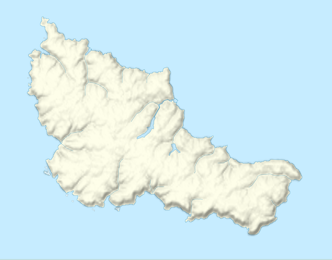
Français : Carte vierge de Belle-Île-en-Mer Deutsch: Karte zum Belle-Île English: Map of Belle Île Español: Mapa de Belle-Île-en-Mer Italiano: Carta de Belle Île 日本語: ベル・イル島の図 Português: Carta do Belle-Isle |
||||
| Date | |||||
| Source |
Français : Création personnelle ;
Limites géographiques de la carte : English: Own work ;
Geographic limits of the map : |
||||
| Author | Bourrichon - fr:Bourrichon | ||||
| Permission (Reusing this file) |
I, the copyright holder of this work, hereby publish it under the following licenses:
This file is licensed under the Creative Commons Attribution-Share Alike 3.0 Unported, 2.5 Generic, 2.0 Generic and 1.0 Generic license.
You may select the license of your choice. |
||||
| Other versions |
[]
|


[[Category:Blank map}}
File history
Click on a date/time to view the file as it appeared at that time.
| Date/Time | Thumbnail | Dimensions | User | Comment | |
|---|---|---|---|---|---|
| current | 20:38, 23 May 2010 | | 1,118 × 878 (304 KB) | Bourrichon (talk | contribs) | {{Information |Description= {{fr|Carte vierge de Belle-Île-en-Mer}}{{de|Karte zum Belle-Île}}{{en|Map of Belle Île}}{{es|Mapa de Belle-Île-en-Mer}}{{it|Carta de |
You cannot overwrite this file.
File usage on Commons
The following 7 pages use this file:
- File:Belle-Île-en-Mer administrative map-fr.png
- File:Belle-Île-en-Mer administrative map-fr.svg
- File:Belle-Île-en-Mer blank map.png
- File:Belle-Île-en-Mer topographic blank map.png
- File:Belle-Île-en-Mer topographic map-fr.png
- File:Belle-Île-en-Mer topographic map-fr.svg
- Template:Other versions/Belle-Île-en-Mer map
File usage on other wikis
The following other wikis use this file:
- Usage on fr.wikipedia.org
- Citadelle de Belle-Île-en-Mer
- Phare des Poulains
- Phare de Goulphar
- Phare de Kerdonis
- Kaerilis
- Aérodrome de Belle-Île
- Pierre Sainte Anne
- Discussion Projet:Morbihan/archive
- Manoir de Crawford
- Établissements pénitentiaires de Belle-Île-en-Mer
- Fortin de Kerdonis
- Fortin de Port Maria
- Fortin de Port-Fouquet
- Feux du Palais
- Église Notre-Dame-de-l'Assomption de Locmaria
- Église Saint-Pierre-et-Saint-Paul de Bangor
- Modèle:Géolocalisation/Belle-Île-en-Mer
- Wikipédia:Atelier graphique/Cartes/Archives/mars 2013
- Liste de croix de chemins à Belle-Île-en-Mer
- Wikipédia:Atelier modèle de géolocalisation/Archives/2013
- Fort Sarah-Bernhardt
- Ensemble fortifié de La Ferrière
- Réduit de La Biche
- Fortifications de Belle-Île-en-Mer
- Menhirs Jean et Jeanne de Kerledan
- Kergolay (Locmaria)
- Église Saint-Gérand du Palais
- Station radar de Port-Coton
- Fort du Bugull
- Kerdalidec (Locmaria)
- Aiguade Vauban
- Enceinte du Palais
- Golf de Belle-Île-en-Mer