File:Belgique - Carte de la province du Brabant - 1882.jpg
Jump to navigation
Jump to search

Size of this preview: 800 × 591 pixels. Other resolutions: 320 × 236 pixels | 640 × 473 pixels | 1,024 × 756 pixels | 1,280 × 945 pixels | 2,560 × 1,891 pixels | 2,964 × 2,189 pixels.
Original file (2,964 × 2,189 pixels, file size: 1.39 MB, MIME type: image/jpeg)
Captions
Captions
Add a one-line explanation of what this file represents
Summary[edit]
| Description |
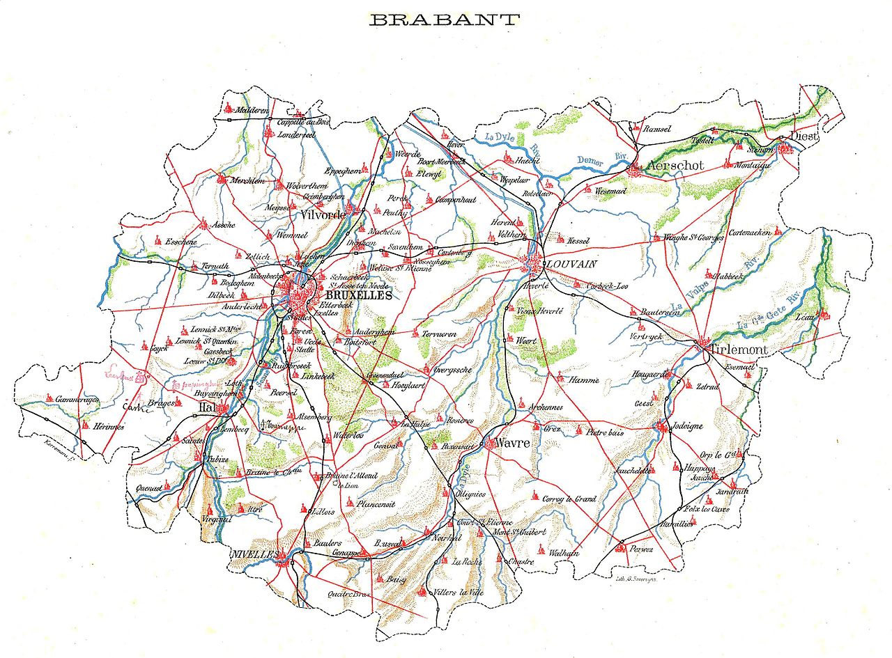
Français : Belgique — Carte de la province du Brabant — 1882. |
| Date | |
| Source | Eugène Van Bemmel (Collectif sous la direction de), La Belgique illustrée, Bruylant-Christophe, Bruxelles, 1882, tome I, p. 4-5. |
| Author | Kerremans, G. Severeyns. |
| Other versions |
.jpg) |
| Technique | chromolithograph |
| Size | height: 19 cm (7.4 in); width: 25 cm (9.8 in) |
| Inscriptions | Signature bottom left:
Kerremans. f.
Signature bottom right: Lith. G. Severeyns.
|
| Original caption | Brabant |
| Scanned by | Éric Dodémont (Dodeeric) |
Licensing[edit]
|
This work is in the public domain in its country of origin and other countries and areas where the copyright term is the author's life plus 70 years or fewer. This work is in the public domain in the United States because it was published (or registered with the U.S. Copyright Office) before January 1, 1929. | |
| This file has been identified as being free of known restrictions under copyright law, including all related and neighboring rights. | |
File history
Click on a date/time to view the file as it appeared at that time.
| Date/Time | Thumbnail | Dimensions | User | Comment | |
|---|---|---|---|---|---|
| current | 17:16, 23 July 2016 | | 2,964 × 2,189 (1.39 MB) | Dodeeric (talk | contribs) | User created page with UploadWizard |
You cannot overwrite this file.
File usage on Commons
The following page uses this file: