File:Baseball grounds of jacksonville national map.jpg
Jump to navigation
Jump to search

Size of this preview: 800 × 583 pixels. Other resolutions: 320 × 233 pixels | 640 × 467 pixels | 982 × 716 pixels.
Original file (982 × 716 pixels, file size: 133 KB, MIME type: image/jpeg)
Captions
Captions
Add a one-line explanation of what this file represents
| Description |
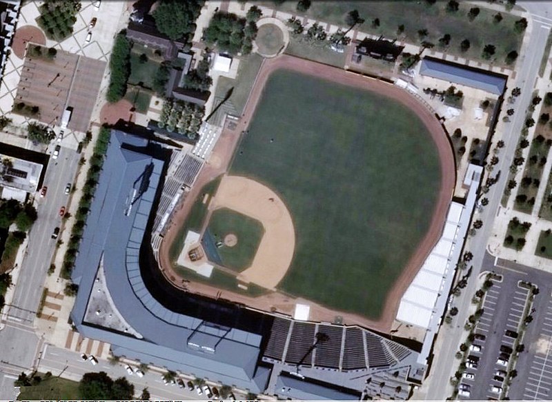
English: The Baseball Grounds of Jacksonville, seen from a USGS satellite. Scale of 1:1,128 |
|||
| Date | Unknown date | |||
| Source | http://viewer.nationalmap.gov/viewer/?p=default&b=base2&x=-9088448.509614866&y=3545446.5959306452&l=19&sc=0&v= | |||
| Author | USGS | |||
| Permission (Reusing this file) |
|
File history
Click on a date/time to view the file as it appeared at that time.
| Date/Time | Thumbnail | Dimensions | User | Comment | |
|---|---|---|---|---|---|
| current | 21:06, 30 September 2012 | | 982 × 716 (133 KB) | Oaktree b (talk | contribs) | {{Information |Description ={{en|1=The Baseball Grounds of Jacksonville, seen from a USGS satellite. Scale of 1:1,128}} |Source =http://viewer.nationalmap.gov/viewer/?p=default&b=base2&x=-9088448.509614866&y=3545446.5959306452&l=19&sc=0&v= |... |
You cannot overwrite this file.
File usage on Commons
There are no pages that use this file.
File usage on other wikis
The following other wikis use this file:
- Usage on en.wikipedia.org