File:Bartholomäberg06.jpg
Jump to navigation
Jump to search

Size of this preview: 800 × 600 pixels. Other resolutions: 320 × 240 pixels | 640 × 480 pixels | 1,024 × 768 pixels | 1,280 × 960 pixels | 2,560 × 1,920 pixels | 4,000 × 3,000 pixels.
Original file (4,000 × 3,000 pixels, file size: 5.62 MB, MIME type: image/jpeg)
Captions
Captions
Add a one-line explanation of what this file represents
Summary
[edit]
| Description |
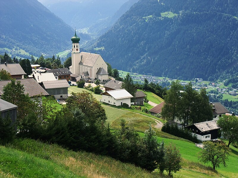
English: Montafon is a 39 km long valley situated in the westernmost federal state Vorarlberg of Austria. Church of the community Batholomäberg. Deutsch: Montafon ist ein 39 km langes Tal im Bundesland Vorarlberg im äußersten Westen von Österreich. Im Bild: Pfarrkirche der Gemeinde Bartholomäberg. |
| Date | |
| Source | Own work |
| Author | Nikater |
| Permission (Reusing this file) |
Own work, all rights released (Public domain) |
| Camera location | | View this and other nearby images on: OpenStreetMap |
|---|
Licensing
[edit]
| I, the copyright holder of this work, release this work into the public domain. This applies worldwide. In some countries this may not be legally possible; if so: I grant anyone the right to use this work for any purpose, without any conditions, unless such conditions are required by law. |
File history
Click on a date/time to view the file as it appeared at that time.
| Date/Time | Thumbnail | Dimensions | User | Comment | |
|---|---|---|---|---|---|
| current | 21:11, 17 April 2012 | | 4,000 × 3,000 (5.62 MB) | Nikater (talk | contribs) | == {{int:filedesc}} == {{Information |Description={{en|1=Montafon is a 39 km long valley situated in the westernmost federal state Vorarlberg of Austria. Church of the community Batholomäberg.}} {{de|1=Montafon ist e... |
You cannot overwrite this file.
File usage on Commons
The following page uses this file:
File usage on other wikis
The following other wikis use this file:
- Usage on nl.wikipedia.org