File:Barley Crop - geograph.org.uk - 26237.jpg
Jump to navigation
Jump to search
No higher resolution available.
Barley_Crop_-_geograph.org.uk_-_26237.jpg (640 × 480 pixels, file size: 177 KB, MIME type: image/jpeg)
Captions
Captions
Add a one-line explanation of what this file represents
Summary[edit]
| Description |
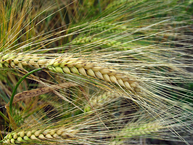
English: Barley Crop. This crop of barley is on the northwest side f the Ridgeway. |
||
| Date | |||
| Source | geograph.org.uk | ||
| Author | Pam Brophy | ||
| Permission (Reusing this file) |
This file is licensed under the Creative Commons Attribution-Share Alike 2.0 Generic license. Attribution: Pam Brophy
|
||
| Attribution (required by the license) | Pam Brophy / Barley Crop / | ||

| Object location | | View this and other nearby images on: OpenStreetMap |
|---|
_&language=en)
File history
Click on a date/time to view the file as it appeared at that time.
| Date/Time | Thumbnail | Dimensions | User | Comment | |
|---|---|---|---|---|---|
| current | 01:36, 30 January 2010 | | 640 × 480 (177 KB) | GeographBot (talk | contribs) | == {{int:filedesc}} == {{Information |description={{en|1=Barley Crop. This crop of barley is on the northwest side f the Ridgeway.}} |date=2005-07-09 |source=From [http://www.geograph.org.uk/photo/26237 geograph.org.uk] |author=[http://www.geograph.org.uk |
You cannot overwrite this file.
File usage on Commons
There are no pages that use this file.