File:Bailu 2019-08-24 0540Z.jpg
Jump to navigation
Jump to search

Size of this preview: 461 × 599 pixels. Other resolutions: 184 × 240 pixels | 369 × 480 pixels | 591 × 768 pixels | 788 × 1,024 pixels | 1,575 × 2,048 pixels | 5,900 × 7,670 pixels.
Original file (5,900 × 7,670 pixels, file size: 4.52 MB, MIME type: image/jpeg)
Captions
Captions
Add a one-line explanation of what this file represents
Summary[edit]
| Description |
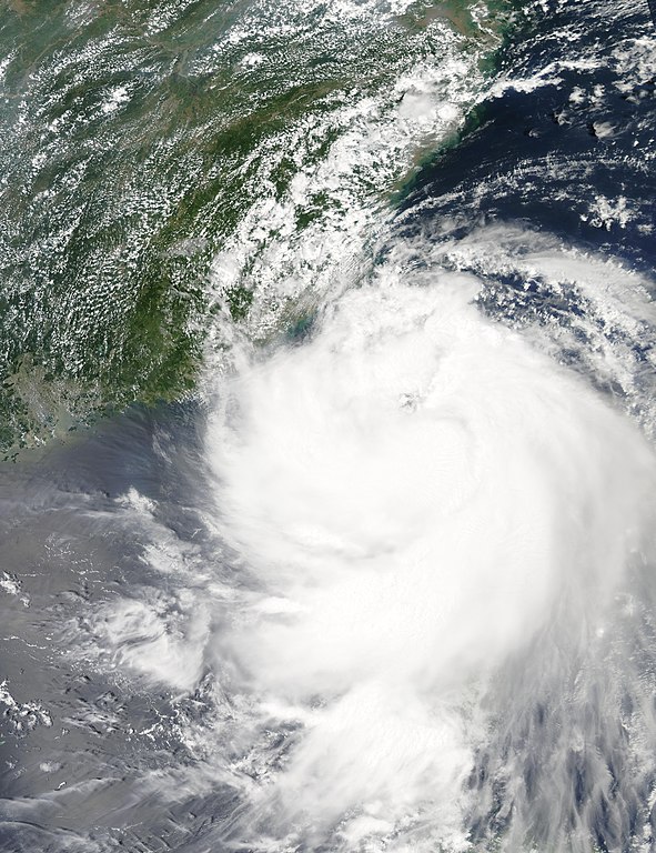
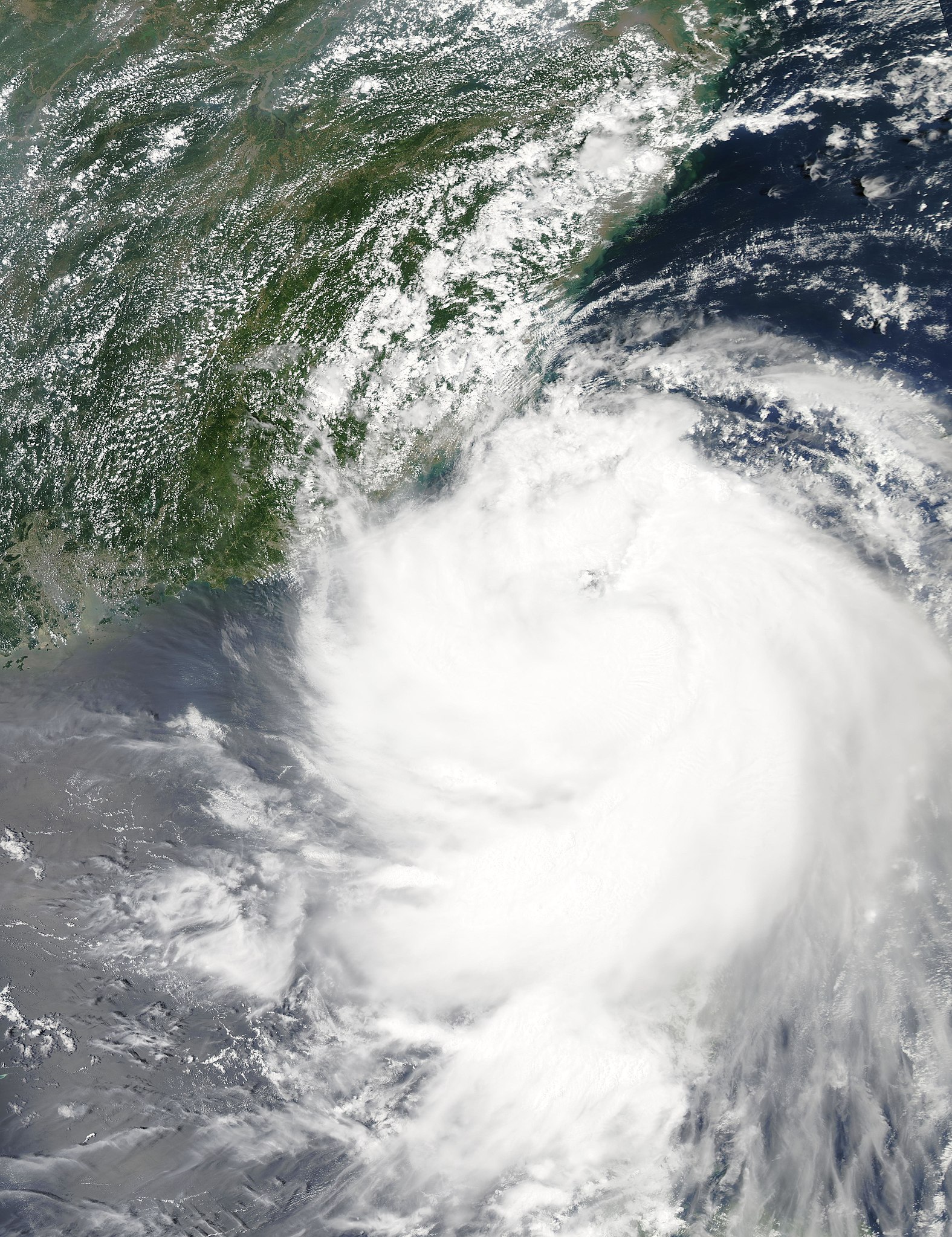
English: Tropical Storm Bailu (12W) in the Luzon Strait (afternoon overpass) |
| Date | |
| Source | https://go.nasa.gov/2P8RNMK |
| Author | National Aeronautics and Space Administration, LANCE/EOSDIS Rapid Response, captured on Aqua satellite |
| Camera location | | View this and other nearby images on: OpenStreetMap |
|---|
Licensing[edit]
| This file is in the public domain in the United States because it was solely created by NASA. NASA copyright policy states that "NASA material is not protected by copyright unless noted". (See Template:PD-USGov, NASA copyright policy page or JPL Image Use Policy.) | ||
 |
Warnings:
|
File history
Click on a date/time to view the file as it appeared at that time.
| Date/Time | Thumbnail | Dimensions | User | Comment | |
|---|---|---|---|---|---|
| current | 06:18, 1 September 2019 | | 5,900 × 7,670 (4.52 MB) | Nino Marakot (talk | contribs) | Reverted to version as of 08:02, 28 August 2019 (UTC) - Please upload it separately. The timing of your image is off by 40 minutes (05:00 UTC NOAA-20 time) |
| 10:07, 31 August 2019 |  | 2,042 × 2,719 (1.14 MB) | Typhoon2013 (talk | contribs) | just leave it be | |
| 08:02, 28 August 2019 |  | 5,900 × 7,670 (4.52 MB) | Nino Marakot (talk | contribs) | Reverted to version as of 12:47, 24 August 2019 (UTC) - Please upload separately; NOAA-20 version | |
| 09:16, 26 August 2019 |  | 2,042 × 2,719 (1.14 MB) | Typhoon2013 (talk | contribs) | NNVL version | |
| 12:47, 24 August 2019 |  | 5,900 × 7,670 (4.52 MB) | Nino Marakot (talk | contribs) | User created page with UploadWizard |
You cannot overwrite this file.
File usage on Commons
The following 6 pages use this file:
- User:Ww2censor/Recent philatelic uploads/2019 August
- Commons:WikiProject Aviation/recent uploads/2019 August 24
- Commons:WikiProject Aviation/recent uploads/2019 August 26
- Commons:WikiProject Aviation/recent uploads/2019 August 28
- Commons:WikiProject Aviation/recent uploads/2019 August 31
- Commons:WikiProject Aviation/recent uploads/2019 September 1