File:Bahnprojekt Bielefeld–Hannover.svg
Jump to navigation
Jump to search

Size of this PNG preview of this SVG file: 800 × 504 pixels. Other resolutions: 320 × 201 pixels | 640 × 403 pixels | 1,024 × 645 pixels | 1,280 × 806 pixels | 2,560 × 1,612 pixels | 1,277 × 804 pixels.
Original file (SVG file, nominally 1,277 × 804 pixels, file size: 19.9 MB)
Captions
Captions
Add a one-line explanation of what this file represents
Summary[edit]
| Description |
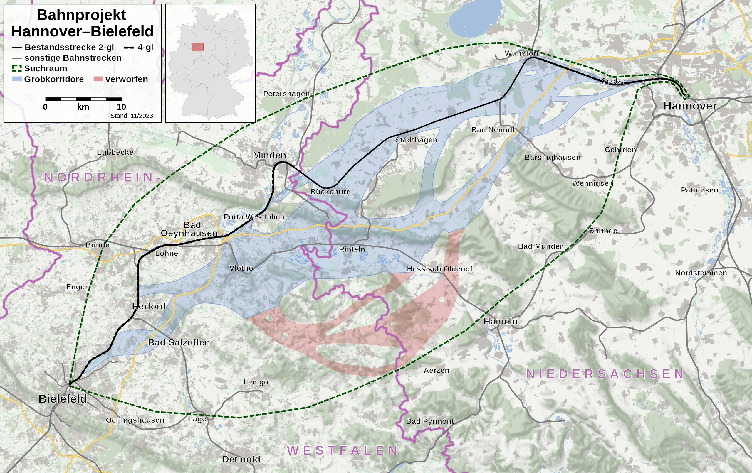
Deutsch: Karte des Bahnprojekts Hannover–Bielefeld. |
| Date | |
| Source | Own work, using OpenStreetMap data and Deutschland Lage von Schleswig-Holstein.svg by David Liuzzo |
| Author | Hbf878, OpenStreetMap contributors, David Liuzzo |
| SVG development | This oversized W3C-invalid map was created with an unknown SVG tool. |
Licensing[edit]
| Description |
This map was created from OpenStreetMap project data, collected by the community. This map may be incomplete, and may contain errors. Don't rely solely on it for navigation. |
|||
| Date | (see file history) | |||
| Source | openstreetmap.org | |||
| Creator |
OpenStreetMap contributors |
|||
| Permission (Reusing this file) |
OpenStreetMap data is available under the Open Database License (details). Map tiles are licensed under the Creative Commons Attribution-ShareAlike 2.0 license (CC-BY-SA 2.0).
This file is licensed under the Creative Commons Attribution-Share Alike 2.0 Generic license.
|
|||
| Georeferencing | If inappropriate please set warp_status = skip to hide. |
File history
Click on a date/time to view the file as it appeared at that time.
| Date/Time | Thumbnail | Dimensions | User | Comment | |
|---|---|---|---|---|---|
| current | 00:44, 20 November 2023 | | 1,277 × 804 (19.9 MB) | Hbf878 (talk | contribs) | Update Grobkorridore |
| 15:45, 21 November 2021 |  | 1,277 × 804 (19.9 MB) | Hbf878 (talk | contribs) | color | |
| 15:29, 21 November 2021 |  | 1,277 × 804 (20.83 MB) | Hbf878 (talk | contribs) | Uploaded a work by {{U|Hbf878}}, OpenStreetMap contributors, {{U|David Liuzzo}} from {{own}}, using OpenStreetMap data and File:Deutschland Lage von Schleswig-Holstein.svg by David Liuzzo with UploadWizard |
You cannot overwrite this file.
File usage on Commons
The following page uses this file:
File usage on other wikis
The following other wikis use this file:
- Usage on de.wikipedia.org
- Usage on www.wikidata.org