File:BSicon utKACCe.svg
Jump to navigation
Jump to search

Size of this PNG preview of this SVG file: 500 × 500 pixels. Other resolutions: 240 × 240 pixels | 480 × 480 pixels | 768 × 768 pixels | 1,024 × 1,024 pixels | 2,048 × 2,048 pixels.
Original file (SVG file, nominally 500 × 500 pixels, file size: 634 bytes)
Captions
Captions
Add a one-line explanation of what this file represents
Summary
[edit]| Description |
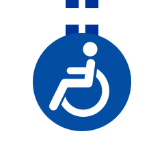
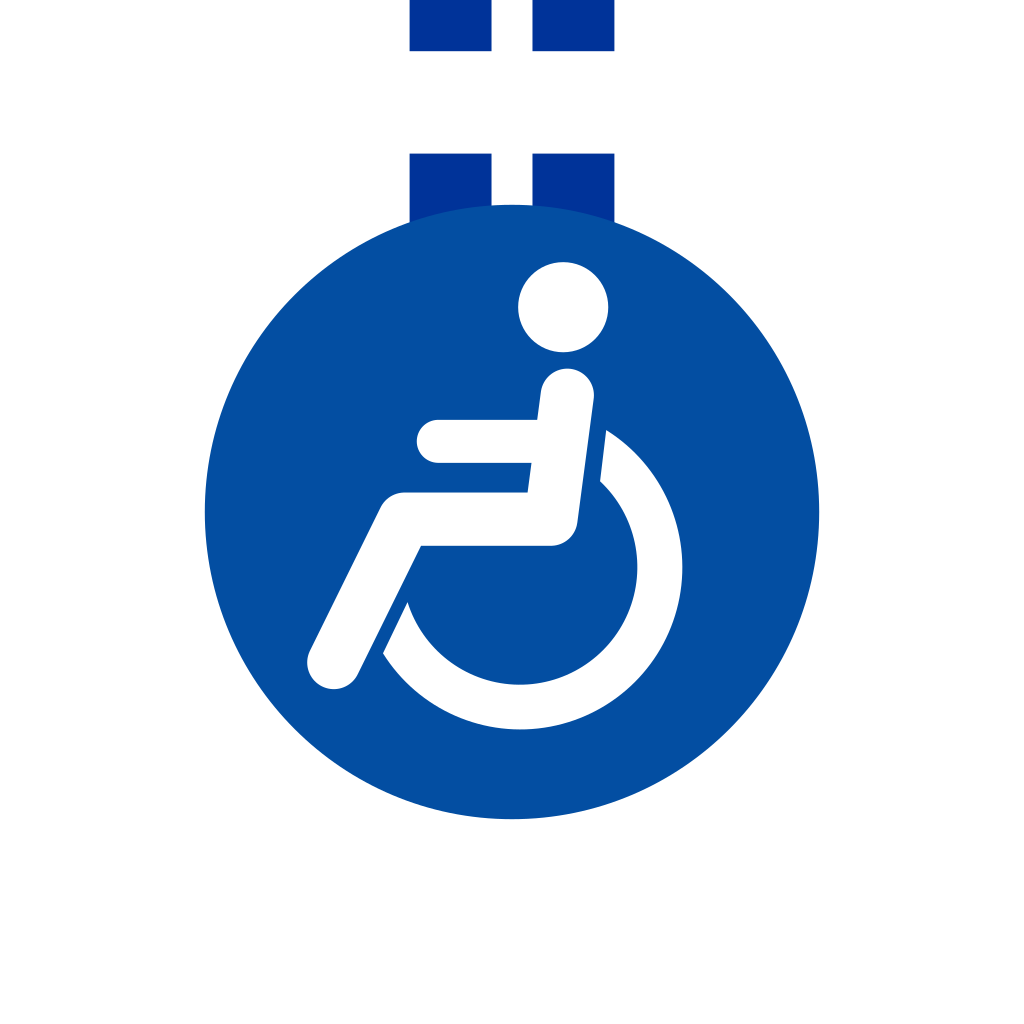
English: In tunnel accessible station, line end |
|||
| Date | ||||
| Source | Modified existing BSicons | |||
| Author | Jack1254 | |||
| Permission (Reusing this file) |
|
|||
| SVG development | This BSicon was created with a text editor. |

File history
Click on a date/time to view the file as it appeared at that time.
| Date/Time | Thumbnail | Dimensions | User | Comment | |
|---|---|---|---|---|---|
| current | 13:31, 13 January 2018 | | 500 × 500 (634 bytes) | Jc86035 (talk | contribs) | Uploaded file |
| 19:41, 17 October 2013 |  | 500 × 500 (714 bytes) | YLSS (talk | contribs) | trim code | |
| 13:34, 11 June 2008 |  | 500 × 500 (2 KB) | Peterwhy (talk | contribs) | Consensus in de:Wikipedia Diskussion:Formatvorlage Bahnstrecke and en:WT:RDT/C to shift station circle to center. | |
| 19:56, 5 December 2007 |  | 500 × 500 (4 KB) | Jack1254~commonswiki (talk | contribs) | {{Information |Description=In tunnel accessible station, line end |Source=Modified existing BSicons |Date= |Author= Jack1254 |Permission= |other_versions= }} |
You cannot overwrite this file.
File usage on Commons
The following 6 pages use this file:
File usage on other wikis
The following other wikis use this file:
- Usage on ca.wikipedia.org
- Usage on cs.wikipedia.org
- Usage on da.wikipedia.org
- Usage on de.wikipedia.org
- Usage on en.wikipedia.org
- Northern line
- North–South MRT line
- Ankara Metro
- Avtozavodskaya (Zamoskvoretskaya line)
- Broad Street Line
- Stouffville line
- Zamoskvoretskaya line
- Template:Zamoskvoretskaya line RDT
- Template:Tagansko-Krasnopresnenskaya line RDT
- Rechnoy Vokzal (Moscow Metro)
- Vodny Stadion (Moscow Metro)
- Voykovskaya (Moscow Metro)
- Sokol (Moscow Metro)
- Aeroport (Moscow Metro)
- Dinamo (Moscow Metro)
- Belorusskaya (Zamoskvoretskaya line)
- Mayakovskaya (Moscow Metro)
- Teatralnaya (Moscow Metro)
- Novokuznetskaya
- Paveletskaya (Zamoskvoretskaya line)
- Kolomenskaya (Moscow Metro)
- Kashirskaya
- Kantemirovskaya (Moscow Metro)
- Tsaritsyno (Moscow Metro)
- Orekhovo (Moscow Metro)
- Domodedovskaya
- Krasnogvardeyskaya (Moscow Metro)
- Park Pobedy (Moscow Metro)
- Tagansko-Krasnopresnenskaya line
- Template:Kalininsko-Solntsevskaya line RDT
- Kitay-gorod (Moscow Metro)
- Tretyakovskaya (Moscow Metro)
- Delovoy Tsentr (Kalininsko-Solntsevskaya line)
- Planernaya (Moscow Metro)
- Skhodnenskaya
- Tushinskaya (Moscow Metro)
- Shchukinskaya
- Oktyabrskoye Pole
View more global usage of this file.