File:BSicon SKRZ-Ahl.svg
Jump to navigation
Jump to search

Size of this PNG preview of this SVG file: 500 × 500 pixels. Other resolutions: 240 × 240 pixels | 480 × 480 pixels | 768 × 768 pixels | 1,024 × 1,024 pixels | 2,048 × 2,048 pixels.
Original file (SVG file, nominally 500 × 500 pixels, file size: 471 bytes)
Captions
Captions
Add a one-line explanation of what this file represents
Summary[edit]
| Description |
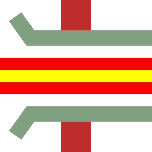
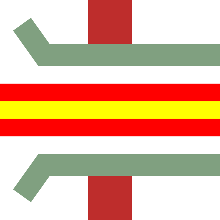
English: Line crossing under A-road starting to be elevated |
| Date | |
| Source | Own work |
| Author | YLSS |
| SVG development | This BSicon was created with a text editor. |
Licensing[edit]
| This image of simple geometry is ineligible for copyright and therefore in the public domain, because it consists entirely of information that is common property and contains no original authorship. |  |
File history
Click on a date/time to view the file as it appeared at that time.
| Date/Time | Thumbnail | Dimensions | User | Comment | |
|---|---|---|---|---|---|
| current | 18:21, 26 March 2015 | | 500 × 500 (471 bytes) | YLSS (talk | contribs) | {{Information |Description ={{en|1=Line crossing under A-road starting to be elevated}} |Source ={{own}} |Author =YLSS |Date ={{subst:today}} |Permission ={{PD-shape}} |other_versions = }} [[Category:Icon... |
You cannot overwrite this file.
File usage on Commons
The following 5 pages use this file:
File usage on other wikis
The following other wikis use this file:
- Usage on de.wikipedia.org
- Usage on en.wikipedia.org
- Upfield line
- Werribee line
- Williamstown line
- Sunbury line
- Flemington Racecourse line
- Craigieburn line
- Warrnambool V/Line rail service
- North East railway line
- Tocumwal railway line, Victoria
- Albion–Jacana railway line
- Warrnambool railway line
- Template:North East railway line
- Melbourne Airport rail link
- Template:Sunbury line
- Template:Tocumwal railway line, Victoria
- Template:Upfield line
- Template:Werribee line
- Template:Williamstown line
- User:Raleigh98/Main Line Routes
- Template:Warrnambool railway line
- User:Raleigh98/Suburban Routes
- Template:Port Fairy railway line
- Template:Craigieburn line
- User:Crowe37/sandbox
- Template:Melbourne Airport rail link
- Template:Flemington Racecourse line
- User:ThylacineHunter/Lines/North East
- User:ThylacineHunter/Lines/Port Fairy
- User:ThylacineHunter/Lines/Metro
- User:ThylacineHunter/Lines/Williamstown railway line
- User:ThylacineHunter/Lines/Metro Yellow
- User:ThylacineHunter/Lines/Metro Green
- User:ThylacineHunter/Lines/Upfield railway line
- User:ThylacineHunter/Lines/Craigieburn railway line
- User:ThylacineHunter/Lines/Flemington Racecourse railway line
- User:ThylacineHunter/Lines/Sunbury railway line
- User:ThylacineHunter/Lines/Werribee railway line
- User:ThylacineHunter/Lines/Geelong railway line
- User:ThylacineHunter/Lines/Warrnambool railway line
- User:ThylacineHunter/Lines/Port Fairy railway line
- Template:Geelong railway line
- User:ThylacineHunter/Lines/NESG railway line
- User:ThylacineHunter/Lines/Albury railway line
- Template:North East standard gauge railway line
View more global usage of this file.