File:BSicon RP2sRP2.svg
Jump to navigation
Jump to search

Size of this PNG preview of this SVG file: 500 × 500 pixels. Other resolutions: 240 × 240 pixels | 480 × 480 pixels | 768 × 768 pixels | 1,024 × 1,024 pixels | 2,048 × 2,048 pixels.
Original file (SVG file, nominally 500 × 500 pixels, file size: 638 bytes)
Captions
Captions
Add a one-line explanation of what this file represents
Summary
[edit]
| Description |
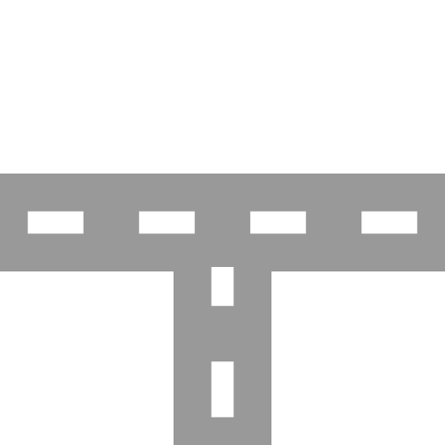
English: two-lane road with two-lane road joining from south Esperanto: Dualea ŝoseo kun kuniĝo de dualea ŝoseo el sudo Português: Estrada de duas faixas com junção de estrada de duas faixas vinda de sul |
| Date | |
| Source | |
| Author |
|
| Other versions | Derivative works of this file: BSicon RP2nRP2.svg |
| SVG development | This BSicon was created with a text editor. |
Licensing
[edit]
I, the copyright holder of this work, hereby publish it under the following license:
| This file is made available under the Creative Commons CC0 1.0 Universal Public Domain Dedication. | |
| The person who associated a work with this deed has dedicated the work to the public domain by waiving all of their rights to the work worldwide under copyright law, including all related and neighboring rights, to the extent allowed by law. You can copy, modify, distribute and perform the work, even for commercial purposes, all without asking permission.
|
Original upload log
[edit]
This image is a derivative work of the following images:
- BSicon RP2wRP2.svg licensed with Cc-zero
- 2011-01-28T12:04:58Z Tuvalkin 500x500 (913 Bytes) {{Information |Description={{en|1= two-lane road with two-lane road joining from west}} {{eo|1= Dualea ŝoseo kun kuniĝo de kun dualea ŝoseo el okcidento}} {{pt|1= Estrada de duas com junção de estrada de duas faixas vind
Uploaded with derivativeFX
File history
Click on a date/time to view the file as it appeared at that time.
| Date/Time | Thumbnail | Dimensions | User | Comment | |
|---|---|---|---|---|---|
| current | 06:04, 21 October 2011 | | 500 × 500 (638 bytes) | Tuvalkin (talk | contribs) | 4 dashes |
| 02:05, 30 January 2011 |  | 500 × 500 (913 bytes) | Tuvalkin (talk | contribs) | {{Information |Description={{en|1= two-lane road with two-lane road joining from south}} {{eo|1= Dualea ŝoseo kun kuniĝo de dualea ŝoseo el sudo}} {{pt|1= Estrada de duas faixas com junção de estrada de duas faixas vinda de sul}} |Source=*[[:File:BSi |
You cannot overwrite this file.
File usage on Commons
The following 9 pages use this file:
- BSicon/Catalogue/generic roads
- Talk:BSicon/Categorization/Archive 1
- User:Circeus/BSicon renaming/Generic
- User:JJMC89 bot/report/BSicons/changes/2017-04 (02)
- User:JJMC89 bot/report/BSicons/changes/2022-03
- User:JJMC89 bot/report/BSicons/changes/2022-09
- User:JJMC89 bot/report/BSicons/logs/upload/2011-01
- User:JJMC89 bot/report/BSicons/logs/upload/2011-10
- Category talk:Icons for motorway descriptions/generic/descriptions
File usage on other wikis
The following other wikis use this file:
- Usage on cs.wikipedia.org
- Usage on de.wikipedia.org
- Usage on el.wikipedia.org
- Usage on en.wikipedia.org
- Historic Columbia River Highway
- Gympie Arterial Road
- Sunshine Motorway
- North East railway line
- Ravenswood station
- Elmhurst station (Illinois)
- Bartlett station
- Iron Horse Trail, Ontario
- Triyuga Municipality
- Martin Luther King Jr. East Busway
- Lombard station
- Prairie Crossing station
- Lake Villa station
- Mont Clare station (Illinois)
- Bensenville station
- Hudson Lake station
- Des Plaines station
- State Street station (Illinois)
- Sandgate Road
- Template:HCRH map
- VIP Road, Kolkata
- West Santa Ana Branch
- Trams in Graz
- User:Etp01/sandbox
- Talk:Riverline (Hobart)
- Template talk:Northern Suburbs Light Rail
- Vulture Street, Brisbane
- Keele Yard
- User:Dr. British12/Gallery: Fictional Metro Maps made using MediaWiki
- Template:Vincent Yard
- Tongpo Line
- Maroochydore Road
- Template:VIP Road
- Template:Iron Horse Trail (Ontario)
- User:ArnabSaha/sandbox/map
- Template:Martin Luther King Jr. East Busway
- Template:West Santa Ana Branch
- Caboolture–Bribie Island Road
- Beerburrum Road
- Caloundra Road
- Brisbane–Woodford Road
- User:ThylacineHunter/Lines/NESG railway line
- Hill Street Tunnel
- Template:Hill Street Tunnel
- South Pine Road
View more global usage of this file.