File:B454 Verlauf.png
Jump to navigation
Jump to search
No higher resolution available.
B454_Verlauf.png (320 × 400 pixels, file size: 20 KB, MIME type: image/png)
Captions
Captions
Add a one-line explanation of what this file represents
Summary[edit]
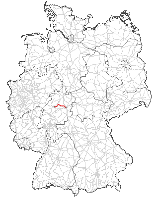
| Description | Verlauf der B 454 |
| Date | 12 January 2006 (original upload date) |
| Source | Originally from commons; description page is/was here. |
| Author | Original uploader was Boolace at commons |
Licensing[edit]
This image was generated with OpenGeoDB. The information there is placed in the public domain, images generated from OpenGeoDB are derivative works without passing the threshold of creativity, they are therefore also public domain.
| This work is ineligible for copyright and therefore in the public domain because it consists entirely of information that is common property and contains no original authorship. |
File history
Click on a date/time to view the file as it appeared at that time.
| Date/Time | Thumbnail | Dimensions | User | Comment | |
|---|---|---|---|---|---|
| current | 18:09, 13 December 2007 | | 320 × 400 (20 KB) | Macia11 (talk | contribs) | == Opis == {{Information |Description=B454_Verlauf.png |Source=Originally from de.wikipedia |Date=2007.12.13 |Author=modif. by Macia11 |Permission=Released under the GNU Free Documentation License |other_versions=Main map from http://www.opengeodb.de }} |
| 19:42, 28 October 2007 |  | 250 × 312 (71 KB) | Malarz pl (talk | contribs) | {{Information |Description=Verlauf der B 454 |Source=Originally from '''commons'''; description page is/was here. |Date=2006-01-12 (original upload date) |Author=Original uploader was Boolace at '''commons''' | |
You cannot overwrite this file.
File usage on Commons
The following page uses this file:
File usage on other wikis
The following other wikis use this file:
- Usage on de.wikipedia.org
- Usage on nl.wikipedia.org
- Usage on www.wikidata.org