File:Avo map 46.png
Jump to navigation
Jump to search
No higher resolution available.
Avo_map_46.png (767 × 500 pixels, file size: 168 KB, MIME type: image/png)
Captions
Captions
Add a one-line explanation of what this file represents
Summary
[edit]
| Description |
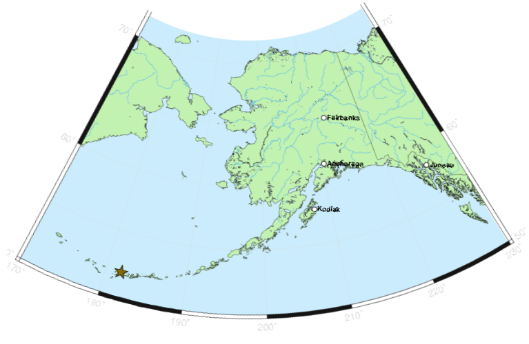
English: Map: Location of Tanaga Island in Alaska |
| Source | Alaska Volcano Observatory / USGS |
| Author | Alaska Volcano Observatory / USGS |
Licensing
[edit]
This image is in the public domain in the United States because it only contains materials that originally came from the United States Geological Survey, an agency of the United States Department of the Interior. For more information, see the official USGS copyright policy.
|
File history
Click on a date/time to view the file as it appeared at that time.
| Date/Time | Thumbnail | Dimensions | User | Comment | |
|---|---|---|---|---|---|
| current | 18:15, 24 May 2010 | | 767 × 500 (168 KB) | Edibobb (talk | contribs) | {{Information |Description={{en|1=Map: Location of Tanaga Island in Alaska}} |Source=Alaska Volcano Observatory / USGS |Author=Alaska Volcano Observatory / USGS |Date= |Permission= |other_versions= }} |
You cannot overwrite this file.
File usage on Commons
There are no pages that use this file.
File usage on other wikis
The following other wikis use this file:
- Usage on en.wikipedia.org
- Usage on es.wikipedia.org
- Usage on gl.wikipedia.org
- Usage on ja.wikipedia.org
- Usage on pt.wikipedia.org
- Usage on th.wikipedia.org
- Usage on uk.wikipedia.org
- Usage on zh.wikipedia.org