File:Austrian Empire (Weiland, 1836).jpg
Jump to navigation
Jump to search

Size of this preview: 762 × 599 pixels. Other resolutions: 305 × 240 pixels | 610 × 480 pixels | 977 × 768 pixels | 1,280 × 1,007 pixels | 2,560 × 2,013 pixels | 10,143 × 7,977 pixels.
Original file (10,143 × 7,977 pixels, file size: 16.18 MB, MIME type: image/jpeg)
Captions
Captions
Add a one-line explanation of what this file represents
Summary[edit]
.jpg&action=edit§ion=1)
| Warning | The original file is very high-resolution. It might not load properly or could cause your browser to freeze when opened at full size. |
|---|
| Description |
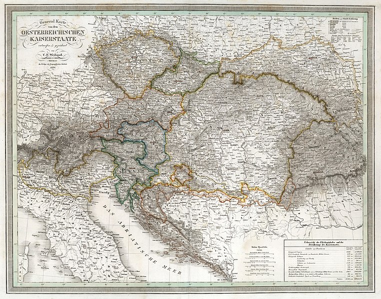
Deutsch: General Karte von dem Oesterreichischen Kaiserstaate. (Austrian Empire.) Allgemeiner Hand Atlas der Ganzen Erde nach den besten astronomischen Bestimmungen neuesten Entdeckungen und Kritischen Untersuchungen entworfen. Weimar, Im Verlage des geographischen Instituts. (General Hand Atlas of the whole earth for the best astronomical provisions latest discoveries and critical studies designed. Weimar, the publishers of the geographical institute.) |
||||
| Date | |||||
| Source | David Rumsey Map Collection. | ||||
| Author | Weiland, Carl Ferdinand, 1782 -1847 | ||||
| Permission (Reusing this file) |
|
||||
File history
Click on a date/time to view the file as it appeared at that time.
| Date/Time | Thumbnail | Dimensions | User | Comment | |
|---|---|---|---|---|---|
| current | 17:38, 27 November 2018 | | 10,143 × 7,977 (16.18 MB) | FDRMRZUSA (talk | contribs) | User created page with UploadWizard |
You cannot overwrite this file.
File usage on Commons
The following page uses this file:
.jpg&oldid=808283246)