File:Augustins - Le Martyre de Saint André - Sébastien Bourdon 2004 1 52.jpg
Original file (5,168 × 6,037 pixels, file size: 24.32 MB, MIME type: image/jpeg)
Captions
Captions
Summary
|
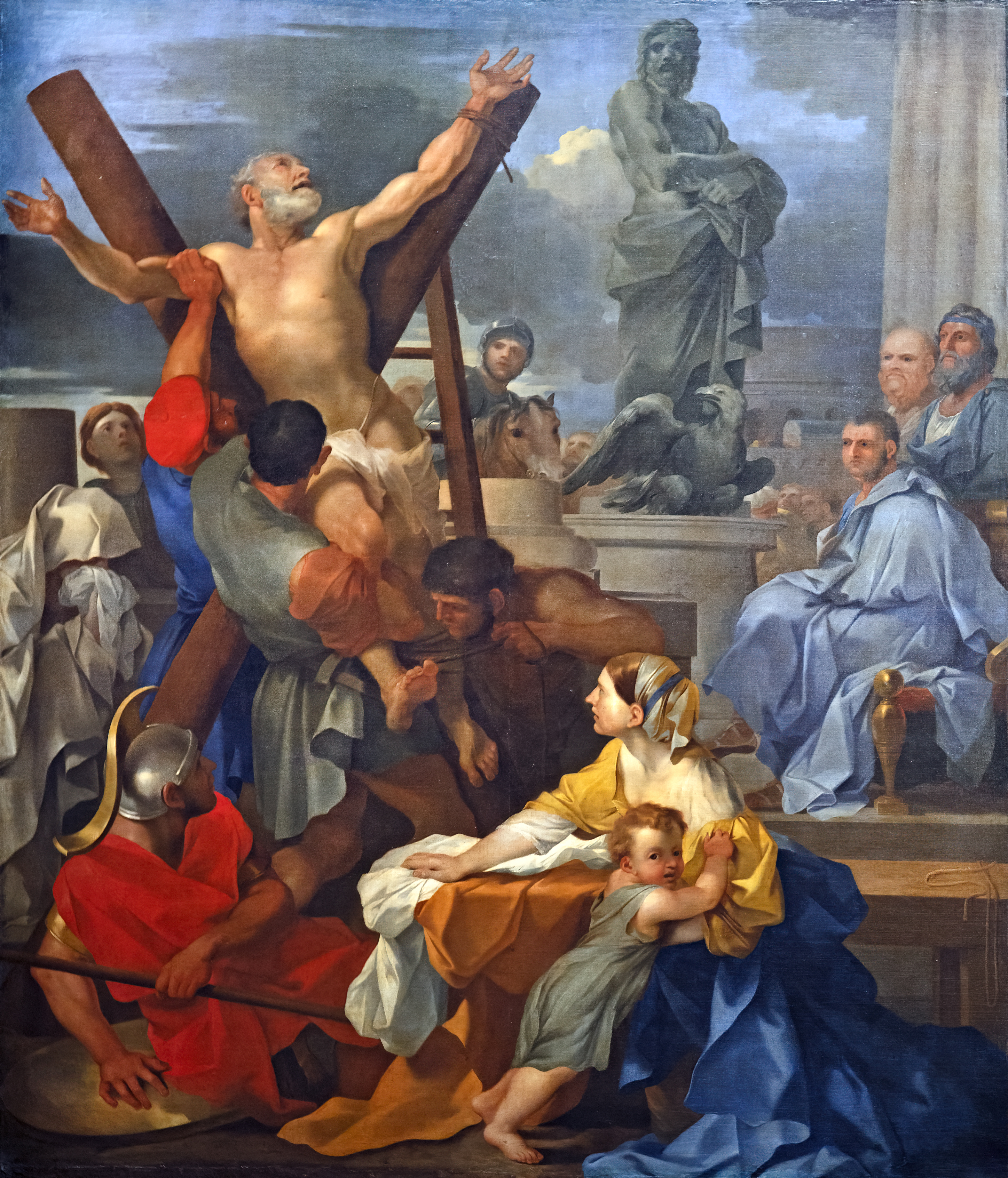
The Martyrdom of Saint Andrew by Sébastien Bourdon, Musée des Augustins de Toulouse | ||||||||||||||||||||||||||||||||||||||||||||||||||||||||||||||||||||||||||||
|
Object
Photograph
| ||||||||||||||||||||||||||||||||||||||||||||||||||||||||||||||||||||||||||||


File history
Click on a date/time to view the file as it appeared at that time.
| Date/Time | Thumbnail | Dimensions | User | Comment | |
|---|---|---|---|---|---|
| current | 08:03, 26 February 2022 | | 5,168 × 6,037 (24.32 MB) | Archaeodontosaurus (talk | contribs) | corrections |
| 09:08, 27 January 2018 |  | 4,466 × 5,240 (8.54 MB) | Archaeodontosaurus (talk | contribs) | {{Information |Description ={{en|1=gf}} |Source ={{own}} |Author =Archaeodontosaurus |Date = |Permission = |other_versions = }} |
You cannot overwrite this file.
File usage on Commons
The following 6 pages use this file:
- Paintings by Sébastien Bourdon
- Paintings in the Musée des Augustins de Toulouse
- User talk:Archaeodontosaurus/De janvier 2018 à Mai 2018
- Commons:Valued image candidates/Augustins - Le Martyre de Saint André - Sébastien Bourdon 2004 1 52.jpg
- File:Augustins - Le Martyre de Saint André - Sébastien Bourdon 2004 1 52.jpg
- File:Sébastien Bourdon - Le Martyre de Saint André - Musée des Augustins - 2004 1 52.jpg
File usage on other wikis
The following other wikis use this file:
- Usage on bg.wikipedia.org
- Usage on fr.wikipedia.org
- Usage on www.wikidata.org