File:Atlas universel de géographie moderne (14008006).jpg
Jump to navigation
Jump to search

Size of this preview: 800 × 523 pixels. Other resolutions: 320 × 209 pixels | 640 × 419 pixels | 1,024 × 670 pixels | 1,280 × 837 pixels | 2,560 × 1,674 pixels | 13,709 × 8,967 pixels.
Original file (13,709 × 8,967 pixels, file size: 39.47 MB, MIME type: image/jpeg)
Captions
Captions
Add a one-line explanation of what this file represents
Summary[edit]
.jpg&action=edit§ion=1)
| Description |
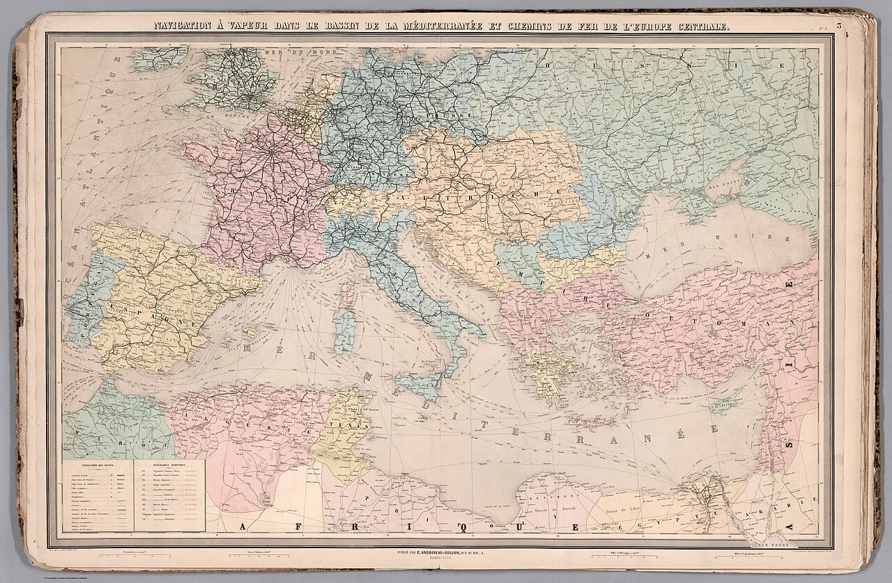
Français : Atlas universel de géographie moderne. Publié par E. Andriveau-Goujon, Paris.
English: World atlas published by Eugène Andriveau-Goujon, including 25 maps, as well as a diagram showing the comparative heights of mountains and lengths of rivers. Publication date estimated to be 1881, based upon the latest date found within the atlas (see maps 6, 8, 9, 16, 17, 19). Short titles for maps transcribed from tables of contents; full titles transcribed directly from maps. Prime meridian is Paris (see maps 23 and 25). Eugène Andriveau-Goujon (1832 - 1897) was a map publisher and cartographer active in 19th century Paris. Maps by Andriveau-Goujon are often confusing to identify as they can be alternately singed J. Goujon, J. Andriveau, J.Andriveau-Goujon, E. Andriveau-Goujon, or simply Andriveau-Goujon. This refers to the multiple generations of the Andriveau-Goujon dynasty and the tendency to republisher older material without updating the imprint. The earliest maps to have the Andriveau-Goujon imprint were released by Jean Andriveau-Goujon. He passed the business to his son Gilbert-Gabriel Andriveau-Goujon, who in 1858 passed to his son, Eugène Andriveau-Goujon, under whose management the firm was most prolific. Andriveau-Goujon published numerous fine pocket maps and atlases throughout the 19th century and often worked with other prominent French cartographers of the time such as Brue and Levasseur. |
|||||||||||||
| Date | ||||||||||||||
| Source | list, main | |||||||||||||
| Author |
|
|||||||||||||
Licensing[edit]
.jpg&action=edit§ion=2)
|
This is a faithful photographic reproduction of a two-dimensional, public domain work of art. The work of art itself is in the public domain for the following reason:
The official position taken by the Wikimedia Foundation is that "faithful reproductions of two-dimensional public domain works of art are public domain".
This photographic reproduction is therefore also considered to be in the public domain in the United States. In other jurisdictions, re-use of this content may be restricted; see Reuse of PD-Art photographs for details. | ||||
File history
Click on a date/time to view the file as it appeared at that time.
| Date/Time | Thumbnail | Dimensions | User | Comment | |
|---|---|---|---|---|---|
| current | 09:13, 16 July 2023 | | 13,709 × 8,967 (39.47 MB) | YannBot (talk | contribs) | == {{int:filedesc}} == {{Information |Description={{fr|1=Atlas universel de géographie moderne. Publié par E. Andriveau-Goujon, Paris.}} {{en|World atlas published by Eugène Andriveau-Goujon, including 25 maps, as well as a diagram showing the comparative heights of mountains and lengths of rivers. Publication date estimated to be 1881, based upon the latest date found within the atlas (see maps 6, 8, 9, 16, 17, 19). Short titles for maps transcribed from tables of contents; full titles trans... |
You cannot overwrite this file.
File usage on Commons
There are no pages that use this file.
.jpg&oldid=806697918)