File:Asan Beach Guam - panoramio - Scott Cameron.jpg
Jump to navigation
Jump to search
No higher resolution available.
Asan_Beach_Guam_-_panoramio_-_Scott_Cameron.jpg (600 × 450 pixels, file size: 309 KB, MIME type: image/jpeg)
Captions
Captions
Add a one-line explanation of what this file represents
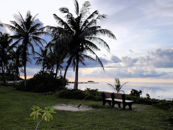
| Description | Asan Beach Guam | ||
| Date | Taken on 23 July 2016 | ||
| Source | https://web.archive.org/web/20161103065826/http://www.panoramio.com/photo/132368642 | ||
| Author | Scott Cameron | ||
| Permission (Reusing this file) |
This file is licensed under the Creative Commons Attribution 3.0 Unported license. Attribution: Scott Cameron
|
| Camera location | | View this and other nearby images on: OpenStreetMap |
|---|
File history
Click on a date/time to view the file as it appeared at that time.
| Date/Time | Thumbnail | Dimensions | User | Comment | |
|---|---|---|---|---|---|
| current | 07:22, 3 November 2016 | | 600 × 450 (309 KB) | Panoramio upload bot (talk | contribs) | {{Information |description=Asan Beach Guam |date={{Taken on|2016-07-23}} |source=http://www.panoramio.com/photo/132368642 |author=[http://www.panoramio.com/user/57605?with_photo_id=132368642 Scott Cameron] |permission={{cc-by-3.0|Scott Cameron}} {{Pano... |
You cannot overwrite this file.
File usage on Commons
There are no pages that use this file.
File usage on other wikis
The following other wikis use this file:
- Usage on en.wikipedia.org