File:Arrow Mill.jpg
Jump to navigation
Jump to search
Size of this preview: 403 × 600 pixels. Other resolutions: 161 × 240 pixels | 430 × 640 pixels.
Original file (430 × 640 pixels, file size: 63 KB, MIME type: image/jpeg)
Captions
Captions
Add a one-line explanation of what this file represents
| Description |
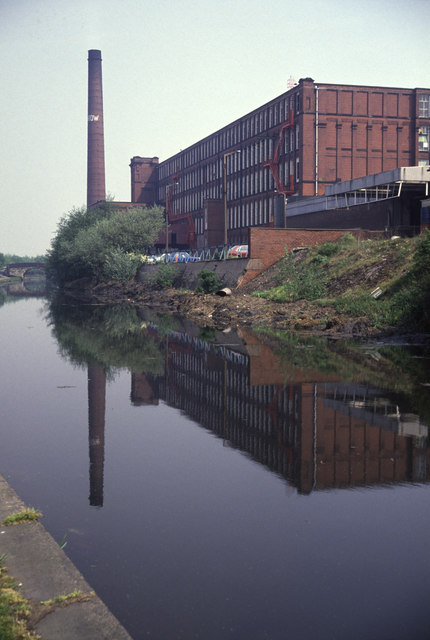
English: Arrow Mill, in Castleton, Rochdale, Greater Manchester, England |
||
| Date | |||
| Source | https://www.geograph.org.uk/photo/201425 | ||
| Author | Chris Allen | ||
| Permission (Reusing this file) |
This file is licensed under the Creative Commons Attribution-Share Alike 2.0 Generic license. Attribution: Chris Allen
|

| Object location | | View this and other nearby images on: OpenStreetMap |
|---|
_region:GB-GBN_&language=en)
File history
Click on a date/time to view the file as it appeared at that time.
| Date/Time | Thumbnail | Dimensions | User | Comment | |
|---|---|---|---|---|---|
| current | 00:27, 23 June 2008 | 430 × 640 (63 KB) | Jza84 (talk | contribs) | {{Information |Description={{en|1=Arrow Mill, in Castleton, Rochdale, Greater Manchester, England}} |Source=http://www.geograph.org.uk/photo/201425 |Author= Chris Allen |Date=5 May, 1990 |Permission={{geograph|201425|Chris Allen}} |other_versions=None }} |
You cannot overwrite this file.
File usage on Commons
There are no pages that use this file.
File usage on other wikis
The following other wikis use this file:
- Usage on azb.wikipedia.org
- Usage on en.wikipedia.org
- Usage on is.wikipedia.org
- Usage on tr.wikipedia.org