File:Armenia Topography he.JPG
Jump to navigation
Jump to search

Size of this preview: 607 × 599 pixels. Other resolutions: 243 × 240 pixels | 486 × 480 pixels | 778 × 768 pixels | 1,037 × 1,024 pixels | 1,930 × 1,906 pixels.
Original file (1,930 × 1,906 pixels, file size: 2.97 MB, MIME type: image/jpeg)
Captions
Captions
Add a one-line explanation of what this file represents
Summary
[edit]| Description |
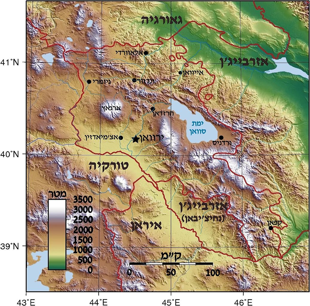
Topographic map of Armenia. Created with GMT from SRTM data Deutsch: Positionskarte von Armenien. Quadratische Plattkarte, N-S-Streckung 130 %. Geographische Begrenzung der Karte: * N: 41.4° N * S: 38.8° N * W: 43.4° O * O: 46.7° O English: Location map of Armenia. Equirectangular projection, N/S stretching 130 %. Geographic limits of the map: * N: 41.4° N * S: 38.8° N * W: 43.4° E * E: 46.7° E Français : Carte administrative muette de l'Arménie. Projection cylindrique équidistante, avec étirement nord-sud de 130%. Limites de la carte : * N: 41,4° * O: 43,4° * S: 38,8° * E: 46,7° |
| Date | (UTC) |
| Source |
This file was derived from: |
| Author |
|


| This is a retouched picture, which means that it has been digitally altered from its original version. Modifications: Armenia Topography in hebrew. The original can be viewed here: Am-map he.svg:
|
Licensing
[edit]
This file is licensed under the Creative Commons Attribution-Share Alike 3.0 Unported license.
- You are free:
- to share – to copy, distribute and transmit the work
- to remix – to adapt the work
- Under the following conditions:
- attribution – You must give appropriate credit, provide a link to the license, and indicate if changes were made. You may do so in any reasonable manner, but not in any way that suggests the licensor endorses you or your use.
- share alike – If you remix, transform, or build upon the material, you must distribute your contributions under the same or compatible license as the original.
Original upload log
[edit]
This image is a derivative work of the following images:
- File:Armenia_Topography.png licensed with Cc-by-sa-3.0,2.5,2.0,1.0, GFDL
- 2007-09-01T17:58:04Z Sadalmelik 1318x1305 (3158922 Bytes) {{Information |Description=Topographic map of Armenia. Created with GMT from SRTM data |Source=self-made |Date=Sep 1, 2007 |Author= [[User:Sadalmelik|Sadalmelik]] }} [[Category:Maps of Armenia]] [[Category:Topographic maps o
- File:Am-map_he.svg licensed with Cc-by-sa-3.0
- 2012-07-29T13:44:12Z Amirki 1169x1198 (321353 Bytes) הוספת מקרא
- 2012-07-29T13:13:36Z Amirki 1169x1198 (288011 Bytes) object to path
- 2012-07-29T13:11:17Z Amirki 1169x1198 (208116 Bytes) == {{int:filedesc}} == {{Information |Description={{Multilingual description |de= Positionskarte von [[:de:Armenien|Armenien]]. Quadratische Plattkarte, N-S-Streckung 130 %. Geographische Begrenzung der Karte: * N: 41.4° N *
Uploaded with derivativeFX
File history
Click on a date/time to view the file as it appeared at that time.
| Date/Time | Thumbnail | Dimensions | User | Comment | |
|---|---|---|---|---|---|
| current | 15:54, 29 July 2012 | | 1,930 × 1,906 (2.97 MB) | Amirki (talk | contribs) | . |
| 15:23, 29 July 2012 |  | 1,737 × 1,715 (736 KB) | Amirki (talk | contribs) | . | |
| 15:03, 29 July 2012 |  | 1,737 × 1,715 (2.76 MB) | Amirki (talk | contribs) | == {{int:filedesc}} == {{Information |Description=Topographic map of Armenia. Created with GMT from SRTM data {{Multilingual description |de= Positionskarte von Armenien.<br> Quadratische Plattkarte, N-S-Streckung 130 %. Geographische ... |
You cannot overwrite this file.
File usage on Commons
There are no pages that use this file.
File usage on other wikis
The following other wikis use this file:
- Usage on he.wikipedia.org