File:Argentina Formosa location map.svg
Jump to navigation
Jump to search

Size of this PNG preview of this SVG file: 606 × 600 pixels. Other resolutions: 242 × 240 pixels | 485 × 480 pixels | 776 × 768 pixels | 1,034 × 1,024 pixels | 2,069 × 2,048 pixels.
Original file (SVG file, nominally 800 × 792 pixels, file size: 138 KB)
Captions
Captions
Add a one-line explanation of what this file represents
Summary[edit]
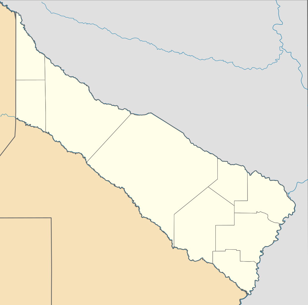
| Description |
Deutsch: Positionskarte von Formosa (Argentinien) English: Location map of Formosa province (Argentina) Español: Mapa de localización de la Provincia de Formosa.
Equirectangular projection, N/S stretching 110 %. Geographic limits of the map:
|
| Date | (UTC) |
| Source |
This file was derived from: |
| Author |
|
| Other versions |
|

Licensing[edit]
This file is licensed under the Creative Commons Attribution-Share Alike 3.0 Unported license.
- You are free:
- to share – to copy, distribute and transmit the work
- to remix – to adapt the work
- Under the following conditions:
- attribution – You must give appropriate credit, provide a link to the license, and indicate if changes were made. You may do so in any reasonable manner, but not in any way that suggests the licensor endorses you or your use.
- share alike – If you remix, transform, or build upon the material, you must distribute your contributions under the same or compatible license as the original.
Original upload log[edit]
This image is a derivative work of the following images:
- File:Argentina_location_map.svg licensed with Cc-by-sa-3.0, GFDL
- File:Map_of_Formosa_Province.svg licensed with Cc-by-sa-3.0,2.5,2.0,1.0, GFDL
Uploaded with derivativeFX
File history
Click on a date/time to view the file as it appeared at that time.
| Date/Time | Thumbnail | Dimensions | User | Comment | |
|---|---|---|---|---|---|
| current | 15:21, 26 November 2022 | | 800 × 792 (138 KB) | GrandEscogriffe (talk | contribs) | more correct north-south stretching |
| 03:09, 10 September 2017 |  | 800 × 840 (138 KB) | Milenioscuro (talk | contribs) | capas | |
| 22:53, 9 July 2013 |  | 800 × 840 (240 KB) | Milenioscuro (talk | contribs) | == {{int:filedesc}} == {{Information |Description={{de|Positionskarte von Formosa (Argentinien)}}{{en|Location map of Formosa province (Argentina)}}{{es|1=Mapa de localización de la Provincia de Formosa.}} Equirec... |
You cannot overwrite this file.
File usage on Commons
The following 8 pages use this file:
- File:Argentina Formosa topographic location map.png
- Category:Cities in Formosa Province
- Category:Departments of Formosa Province
- Category:Formosa Province
- Category:Geography of Formosa Province
- Category:People of Formosa Province
- Category:Populated places in Formosa Province
- Category:Train stations in Formosa Province
File usage on other wikis
The following other wikis use this file:
- Usage on de.wikipedia.org
- Usage on eo.wikipedia.org
- Usage on es.wikipedia.org
- Ingeniero Juárez
- Clorinda (ciudad)
- Pirané
- Comandante Fontana
- Laguna Blanca (Formosa)
- El Colorado
- Villa Dos Trece
- El Espinillo (Formosa)
- Herradura (Formosa)
- San Francisco de Laishí
- Laguna Yema (localidad)
- Las Lomitas
- Palo Santo
- Estanislao del Campo (Formosa)
- General Manuel Belgrano
- Ibarreta
- Pozo del Tigre
- Mayor Vicente Villafañe
- El Chorro (Formosa)
- Riacho He-Hé
- Villa General Güemes
- San Martín 2
- Gran Guardia
- Colonia Pastoril
- San Hilario (Formosa)
- Villa del Carmen (Formosa)
- Mojón de Fierro
- Mariano Boedo (Formosa)
- Villa Trinidad (Formosa)
- El Potrillo
- Los Chiriguanos
- Pozo de Maza
- Pozo del Mortero
- Fortín Lugones
- Subteniente Perín
- San Martín 1
- Posta Cambio Zalazar
- Colonia Sarmiento (Formosa)
- Juan G. Bazán
- Bartolomé de las Casas (Formosa)
- El Recreo (Formosa)
- General Lucio V. Mansilla
- Villa Escolar
- Tatané
- Banco Payaguá
View more global usage of this file.