File:Aper Tief.jpg
Jump to navigation
Jump to search

Size of this preview: 800 × 512 pixels. Other resolutions: 320 × 205 pixels | 640 × 409 pixels | 1,024 × 655 pixels | 1,280 × 819 pixels | 1,920 × 1,228 pixels.
Original file (1,920 × 1,228 pixels, file size: 443 KB, MIME type: image/jpeg)
Captions
Captions
Add a one-line explanation of what this file represents
Summary[edit]
| Description |
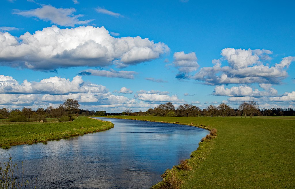
Deutsch: Blick von der Brücke übers Aper Tief (Brückenweg) nach Osten ins Landschaftsschutzgebiet „Vreschen-Bokel am Aper Tief“ (LSG WST 00095), Apen, Landkreis Ammerland |
| Date | Taken on 17 April 2017 |
| Source | Own work |
| Author | HeinoFecht |
| Camera location | | View this and other nearby images on: OpenStreetMap |
|---|
Licensing[edit]
I, the copyright holder of this work, hereby publish it under the following license:
This file is licensed under the Creative Commons Attribution-Share Alike 4.0 International license.
- You are free:
- to share – to copy, distribute and transmit the work
- to remix – to adapt the work
- Under the following conditions:
- attribution – You must give appropriate credit, provide a link to the license, and indicate if changes were made. You may do so in any reasonable manner, but not in any way that suggests the licensor endorses you or your use.
- share alike – If you remix, transform, or build upon the material, you must distribute your contributions under the same or compatible license as the original.
This image was uploaded as part of Wiki Loves Earth 2017.
|
 |
File history
Click on a date/time to view the file as it appeared at that time.
| Date/Time | Thumbnail | Dimensions | User | Comment | |
|---|---|---|---|---|---|
| current | 02:43, 14 November 2017 | | 1,920 × 1,228 (443 KB) | Hasenläufer (talk | contribs) | Removed watermark by cropping 4 % vertically using CropTool with lossless mode. |
| 18:17, 7 May 2017 |  | 1,920 × 1,280 (471 KB) | HeinoFecht (talk | contribs) | User created page with UploadWizard |
You cannot overwrite this file.
File usage on Commons
The following 2 pages use this file:
File usage on other wikis
The following other wikis use this file:
- Usage on de.wikipedia.org