File:Andorra topographic map-sr.svg
Jump to navigation
Jump to search

Size of this PNG preview of this SVG file: 750 × 600 pixels. Other resolutions: 300 × 240 pixels | 600 × 480 pixels | 960 × 768 pixels | 1,280 × 1,024 pixels | 2,560 × 2,048 pixels | 1,625 × 1,300 pixels.
Original file (SVG file, nominally 1,625 × 1,300 pixels, file size: 1.56 MB)
Captions
Captions
Add a one-line explanation of what this file represents
Summary[edit]
| Description |
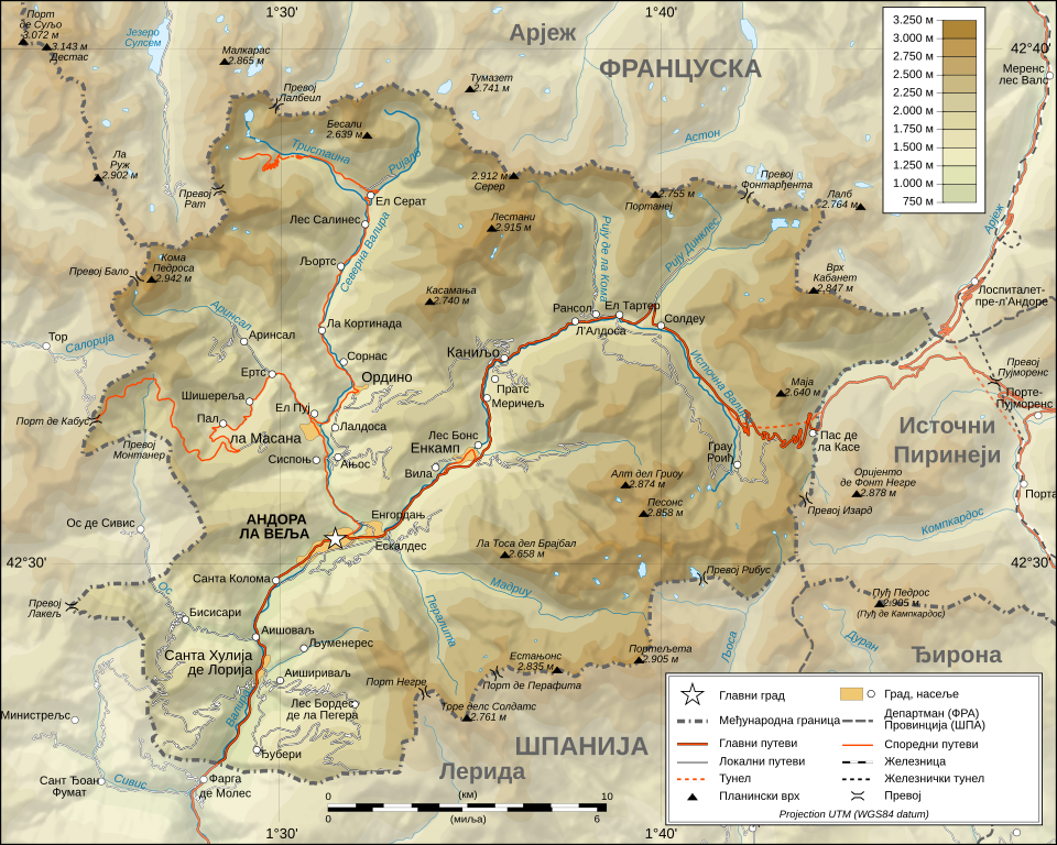
Српски / srpski: Превод топографске мапе Андоре преузете са википедије на енглеском језику. |
| Date | 23 April 2012 (original upload date) |
| Source | Transferred from sr.wikipedia to Commons. |
| Author | The original uploader was НиколаБ at Serbian Wikipedia. |
| Permission (Reusing this file) |
CC-BY-SA-3.0-RS. |
| Other versions |
Derivative works of this file: Andorra topographic map-en.svg
[]
|


|
This SVG file contains embedded text that can be translated into your language, using any capable SVG editor, text editor or the SVG Translate tool. For more information see: About translating SVG files. |
Licensing[edit]
The original uploader was НиколаБ at Serbian Wikipedia., the copyright holder of this work, hereby publishes it under the following licenses:

|
Permission is granted to copy, distribute and/or modify this document under the terms of the GNU Free Documentation License, Version 1.2 or any later version published by the Free Software Foundation; with no Invariant Sections, no Front-Cover Texts, and no Back-Cover Texts. A copy of the license is included in the section entitled GNU Free Documentation License. Subject to disclaimers. |
This file is licensed under the Creative Commons Attribution 3.0 Serbia license.
Attribution: The original uploader was НиколаБ at Serbian Wikipedia.
- You are free:
- to share – to copy, distribute and transmit the work
- to remix – to adapt the work
- Under the following conditions:
- attribution – You must give appropriate credit, provide a link to the license, and indicate if changes were made. You may do so in any reasonable manner, but not in any way that suggests the licensor endorses you or your use.

You may select the license of your choice.
Original upload log[edit]
The original description page was here. All following user names refer to sr.wikipedia.
| Date/Time | Dimensions | User | Comment |
|---|---|---|---|
| 2012-04-23 21:49 | 1625×1300× (1635189 bytes) | НиколаБ | Превод топографске мапе Андоре преузете са википедије на енглеском језику. |
File history
Click on a date/time to view the file as it appeared at that time.
| Date/Time | Thumbnail | Dimensions | User | Comment | |
|---|---|---|---|---|---|
| current | 12:12, 20 October 2016 | | 1,625 × 1,300 (1.56 MB) | Ранко Николић (talk | contribs) | Transferred from sr.wikipedia |
You cannot overwrite this file.
File usage on Commons
The following 11 pages use this file:
- File:Andorra topographic map-ca.svg
- File:Andorra topographic map-de.svg
- File:Andorra topographic map-en.svg
- File:Andorra topographic map-fr.svg
- File:Andorra topographic map-hu.svg
- File:Andorra topographic map-it.svg
- File:Andorra topographic map-mk.svg
- File:Andorra topographic map-pl.svg
- File:Andorra topographic map-ptbr.svg
- File:Andorra topographic map-sr.svg
- Template:Other versions/Andorra topographic map
File usage on other wikis
The following other wikis use this file:
- Usage on sr.wikipedia.org