File:Algeria France Locator.png
Jump to navigation
Jump to search
Size of this preview: 659 × 600 pixels. Other resolutions: 264 × 240 pixels | 527 × 480 pixels | 844 × 768 pixels | 1,160 × 1,056 pixels.
Original file (1,160 × 1,056 pixels, file size: 37 KB, MIME type: image/png)
Captions
Captions
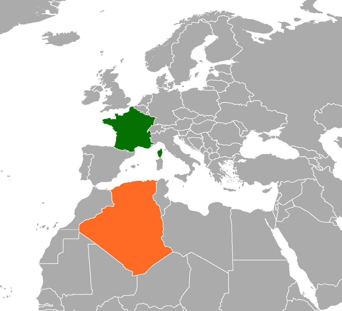
France (in green) and Algeria (in orange)
Summary[edit]
| Description | Locator map showing Algeria and France | ||
| Date | |||
| Source | self-made based on Image:BlankMap-World6, compact.svg | ||
| Author | Mangostar | ||
| Permission (Reusing this file) |
|
File history
Click on a date/time to view the file as it appeared at that time.
| Date/Time | Thumbnail | Dimensions | User | Comment | |
|---|---|---|---|---|---|
| current | 15:29, 6 May 2023 | | 1,160 × 1,056 (37 KB) | Riad Salih (talk | contribs) | update map |
| 04:20, 29 September 2020 |  | 1,160 × 1,056 (80 KB) | Aquintero82 (talk | contribs) | Updated map | |
| 19:27, 30 June 2020 |  | 1,120 × 1,040 (70 KB) | Aquintero82 (talk | contribs) | Updated map | |
| 21:48, 1 September 2015 |  | 394 × 528 (22 KB) | Aquintero82 (talk | contribs) | Updated map | |
| 18:39, 1 June 2008 |  | 355 × 297 (28 KB) | Thomas.macmillan (talk | contribs) | ||
| 05:25, 28 May 2008 |  | 1,091 × 805 (109 KB) | Calliopejen1 (talk | contribs) | {{Information |Description=Locator map showing Algeria and France |Source=self-made based on Image:BlankMap-World6, compact.svg |Date=2008-05-28 |Author= Mangostar |Permission={{PD-self}} |other_versions= }} |
You cannot overwrite this file.
File usage on Commons
The following page uses this file:
File usage on other wikis
The following other wikis use this file:
- Usage on ar.wikipedia.org
- Usage on de.wikipedia.org
- Usage on en.wikipedia.org
- Usage on fa.wikipedia.org
- Usage on fr.wikipedia.org
- Usage on he.wikipedia.org
- Usage on id.wikipedia.org
- Usage on it.wikipedia.org
- Usage on pt.wikipedia.org
- Usage on ru.wikipedia.org
- Usage on uk.wikipedia.org
- Usage on www.wikidata.org