File:Ales stenar - KMB - 16000300031602.jpg
Jump to navigation
Jump to search

Size of this preview: 499 × 600 pixels. Other resolutions: 200 × 240 pixels | 399 × 480 pixels | 639 × 768 pixels | 852 × 1,024 pixels | 1,703 × 2,048 pixels | 2,753 × 3,310 pixels.
Original file (2,753 × 3,310 pixels, file size: 1.63 MB, MIME type: image/jpeg)
Captions
Captions
Add a one-line explanation of what this file represents
| Ales stenar
( |
|||||||||||||||||||||||||||
|---|---|---|---|---|---|---|---|---|---|---|---|---|---|---|---|---|---|---|---|---|---|---|---|---|---|---|---|
| Photographer |
|
||||||||||||||||||||||||||
| Title |
Ales stenar |
||||||||||||||||||||||||||
| Original caption |
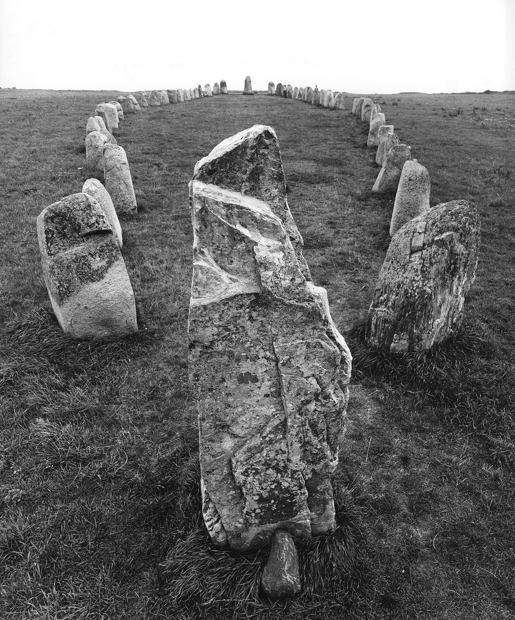
Notera Av dokumentationsskäl har originalbeskrivningen från Riksantikvarieämbetet behållits. Tillrättalägganden och alternativa beskrivningar bör införas separat från nedanstående information. Raä-nr: Valleberga 20:1. Skeppssättning.Felaktigheter kan även anmälas till denna sida. Motiv: Valleberga 20:1 |
||||||||||||||||||||||||||
| Description |
Raä-nr: Valleberga 20:1. Skeppssättning. Valleberga 20:1.
|
||||||||||||||||||||||||||
| Depicted place | Sweden, Ystad Municipality, Valleberga | ||||||||||||||||||||||||||
| Date | Taken in 1960 | ||||||||||||||||||||||||||
| Collection |
|
||||||||||||||||||||||||||
| Accession number | |||||||||||||||||||||||||||
| Source |
Pål-Nils Nilsson / Kulturmiljöbild, Riksantikvarieämbetet
|
||||||||||||||||||||||||||
| Permission (Reusing this file) |
This file is licensed under the Creative Commons Attribution 2.5 Generic license. Attribution: Pål-Nils Nilsson / Riksantikvarieämbetet
|
||||||||||||||||||||||||||


| Object location | | View this and other nearby images on: OpenStreetMap |
|---|
File history
Click on a date/time to view the file as it appeared at that time.
| Date/Time | Thumbnail | Dimensions | User | Comment | |
|---|---|---|---|---|---|
| current | 18:08, 3 November 2021 | | 2,753 × 3,310 (1.63 MB) | VulpesVulpes42 (talk | contribs) | Högre upplösning. |
| 00:06, 10 June 2017 |  | 571 × 694 (155 KB) | AndreCostaWMSE-bot (talk | contribs) | {{Kulturmiljöbild-image | short title = Ales stenar | original description = Raä-nr: Valleberga 20:1. Skeppssättning.<br> Motiv: Valleberga 20:1<br> Nyckelord: Raä-Fastigheter, Riksintressen<br> Kategori: Stenkrets/domarring/skeppssättning | wiki... |
You cannot overwrite this file.
File usage on Commons
The following 3 pages use this file: