File:Aguas calientes - panoramio (2).jpg
Jump to navigation
Jump to search

Size of this preview: 800 × 600 pixels. Other resolutions: 320 × 240 pixels | 640 × 480 pixels | 1,024 × 768 pixels | 1,280 × 960 pixels | 2,592 × 1,944 pixels.
Original file (2,592 × 1,944 pixels, file size: 684 KB, MIME type: image/jpeg)
Captions
Captions
Add a one-line explanation of what this file represents
Summary[edit]
.jpg&action=edit§ion=1)
| Description |
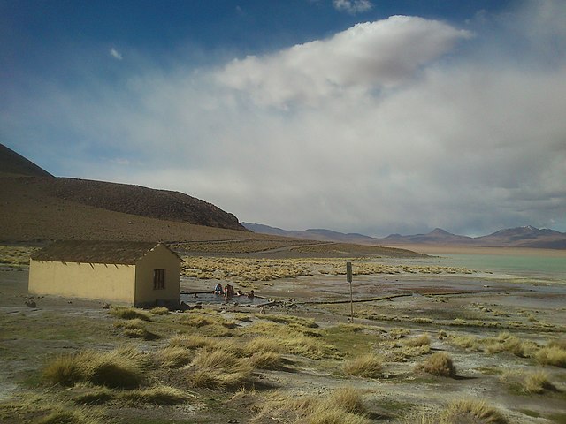
Español: Aguas calientes Chalviri |
||
| Date | Taken on 16 March 2012 | ||
| Source | https://web.archive.org/web/20161026064344/http://www.panoramio.com/photo/71988637 | ||
| Author | BlackNose | ||
| Permission (Reusing this file) |
This file is licensed under the Creative Commons Attribution 3.0 Unported license. Attribution: BlackNose
|
||
| Tags (from Panoramio photo page) | Sur Lípez, Altiplano, Bolivia |
| Camera location | | View this and other nearby images on: OpenStreetMap |
|---|
.jpg¶ms=-22.536062_N_-067.649256_E_globe:Earth_type:camera_source:Panoramio_&language=en)
File history
Click on a date/time to view the file as it appeared at that time.
| Date/Time | Thumbnail | Dimensions | User | Comment | |
|---|---|---|---|---|---|
| current | 14:27, 1 January 2017 | | 2,592 × 1,944 (684 KB) | Panoramio upload bot (talk | contribs) | == {{int:filedesc}} == {{Information |description=Aguas calientes |date={{Taken on|2012-03-16}} |source=http://www.panoramio.com/photo/71988637 |author=[http://www.panoramio.com/user/290591?with_photo_id=71988637 BlackNose] |permission={{cc-by-3.0|Blac... |
You cannot overwrite this file.
File usage on Commons
There are no pages that use this file.
.jpg&oldid=786463074)