File:Agglomération de Rimouski-blank.svg
Jump to navigation
Jump to search

Size of this PNG preview of this SVG file: 581 × 599 pixels. Other resolutions: 233 × 240 pixels | 465 × 480 pixels | 744 × 768 pixels | 993 × 1,024 pixels | 1,985 × 2,048 pixels | 1,170 × 1,207 pixels.
Original file (SVG file, nominally 1,170 × 1,207 pixels, file size: 123 KB)
Captions
Captions
Add a one-line explanation of what this file represents
Summary
[edit]| Description |
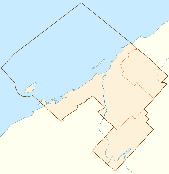
Français : Carte vierge de l'agglomération de recensement de Rimouski, affichant son contour, le découpage des municipalités qui la composent, et ses principaux cours d'eau.
Projection conique conforme de Lambert |
||
| Date | |||
| Source | D'après la carte Secteur de recensement selon AR de Rimouski (lien), 8 décembre 2011. | ||
| Author | Flappiefh | ||
| Other versions | |||
| SVG | W3C-validity not checked.
|
||
| Graphic Lab |

Licensing
[edit]
I, the copyright holder of this work, hereby publish it under the following license:
This file is licensed under the Creative Commons Attribution-Share Alike 3.0 Unported license.
- You are free:
- to share – to copy, distribute and transmit the work
- to remix – to adapt the work
- Under the following conditions:
- attribution – You must give appropriate credit, provide a link to the license, and indicate if changes were made. You may do so in any reasonable manner, but not in any way that suggests the licensor endorses you or your use.
- share alike – If you remix, transform, or build upon the material, you must distribute your contributions under the same or compatible license as the original.
File history
Click on a date/time to view the file as it appeared at that time.
| Date/Time | Thumbnail | Dimensions | User | Comment | |
|---|---|---|---|---|---|
| current | 20:44, 3 September 2013 | | 1,170 × 1,207 (123 KB) | Sémhur (talk | contribs) | Eau en bleu #C8EBFF |
| 16:10, 31 January 2013 |  | 1,170 × 1,207 (196 KB) | Flappiefh (talk | contribs) | Redimensionnement de la page | |
| 16:08, 31 January 2013 |  | 744 × 1,052 (195 KB) | Flappiefh (talk | contribs) | Subdivisions de recensement utilisées en lieu et place des agglomérations de recensement. | |
| 22:41, 28 January 2013 |  | 1,164 × 1,193 (358 KB) | Flappiefh (talk | contribs) | User created page with UploadWizard |
You cannot overwrite this file.
File usage on Commons
The following page uses this file:
- File:Agglomération de Roumaski-blank.svg (file redirect)
File usage on other wikis
The following other wikis use this file:
- Usage on fr.wikipedia.org
- Le Bic
- Cégep de Rimouski
- Université du Québec à Rimouski
- Sainte-Blandine (Québec)
- Institut maritime du Québec
- Cathédrale Saint-Germain de Rimouski
- Pointe-au-Père
- Île Bicquette
- Maison Lamontagne
- Site historique maritime de la Pointe-au-Père
- Phare de Pointe-au-Père
- Baie du Ha! Ha!
- Île Saint-Barnabé
- Musée régional de Rimouski
- Pont des Draveurs (Rimouski)
- Station d'aide à la navigation de Pointe-au-Père
- Conservatoire de musique de Rimouski
- Rimouski-Est
- Modèle:Géolocalisation/Rimouski
- Agglomération de recensement de Rimouski
- Wikipédia:Atelier graphique/Cartes/Archives/février 2013
- Mont-Lebel
- Sainte-Odile-sur-Rimouski
- Île du Bic
- Aéroport de Rimouski
- Cap à l'Orignal
- Commission scolaire des Phares
- Île du Massacre
- Maison Marie-Élisabeth
- Chez Saint-Pierre