File:Agean non political.jpg
Jump to navigation
Jump to search

Size of this preview: 800 × 546 pixels. Other resolutions: 320 × 218 pixels | 640 × 436 pixels | 1,024 × 698 pixels | 1,305 × 890 pixels.
Original file (1,305 × 890 pixels, file size: 960 KB, MIME type: image/jpeg)
Captions
Captions
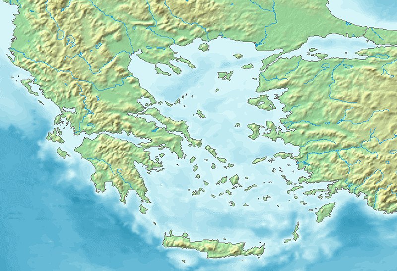
Agean non political
Summary[edit]
| Description |
English: Agean non political |
| Date | |
| Source | |
| Author | Map created from DEMIS Mapserver, which are public domain. |

Licensing[edit]

|
Permission is granted to copy, distribute and/or modify this document under the terms of the GNU Free Documentation License, Version 1.2 or any later version published by the Free Software Foundation; with no Invariant Sections, no Front-Cover Texts, and no Back-Cover Texts. A copy of the license is included in the section entitled GNU Free Documentation License. |
| This file is licensed under the Creative Commons Attribution-Share Alike 3.0 Unported license. | ||
| ||
| This licensing tag was added to this file as part of the GFDL licensing update. |
File history
Click on a date/time to view the file as it appeared at that time.
| Date/Time | Thumbnail | Dimensions | User | Comment | |
|---|---|---|---|---|---|
| current | 16:26, 26 July 2020 | | 1,305 × 890 (960 KB) | पाटलिपुत्र (talk | contribs) | colors |
| 16:05, 26 July 2020 |  | 1,305 × 890 (982 KB) | पाटलिपुत्र (talk | contribs) | Uploaded a work by Map created from [http://www2.demis.nl/mapserver/mapper.asp DEMIS Mapserver], which are public domain. from {{extracted from|File:Topographic30deg N30E0.png}} with UploadWizard |
You cannot overwrite this file.
File usage on Commons
There are no pages that use this file.
File usage on other wikis
The following other wikis use this file:
- Usage on en.wikipedia.org
- Aegean Sea
- Pharnabazus II
- Magnesia on the Maeander
- Corinthian War
- Battle of Cnidus
- Milos Island National Airport
- Battle of Gerontas
- Folklore Museum of Limenaria
- Module:Location map/data/Aegean Sea
- 2020 Aegean Sea earthquake
- Battle of Corycus
- Module:Location map/data/Aegean Sea/doc
- 1968 Aegean Sea earthquake
- 1933 Kos earthquake
- User:Falcaorib/Mediterranean Basin, Near East and Middle East
- Usage on es.wikipedia.org
- Usage on hr.wikipedia.org
- Usage on ko.wikipedia.org
- Usage on si.wikipedia.org
- Usage on ta.wikipedia.org
- Usage on th.wikipedia.org
- Usage on tr.wikipedia.org