File:African continent-hu.svg
Jump to navigation
Jump to search

Size of this PNG preview of this SVG file: 635 × 600 pixels. Other resolutions: 254 × 240 pixels | 508 × 480 pixels | 813 × 768 pixels | 1,084 × 1,024 pixels | 2,169 × 2,048 pixels | 1,525 × 1,440 pixels.
Original file (SVG file, nominally 1,525 × 1,440 pixels, file size: 752 KB)
Captions
Captions
Add a one-line explanation of what this file represents
| Description |
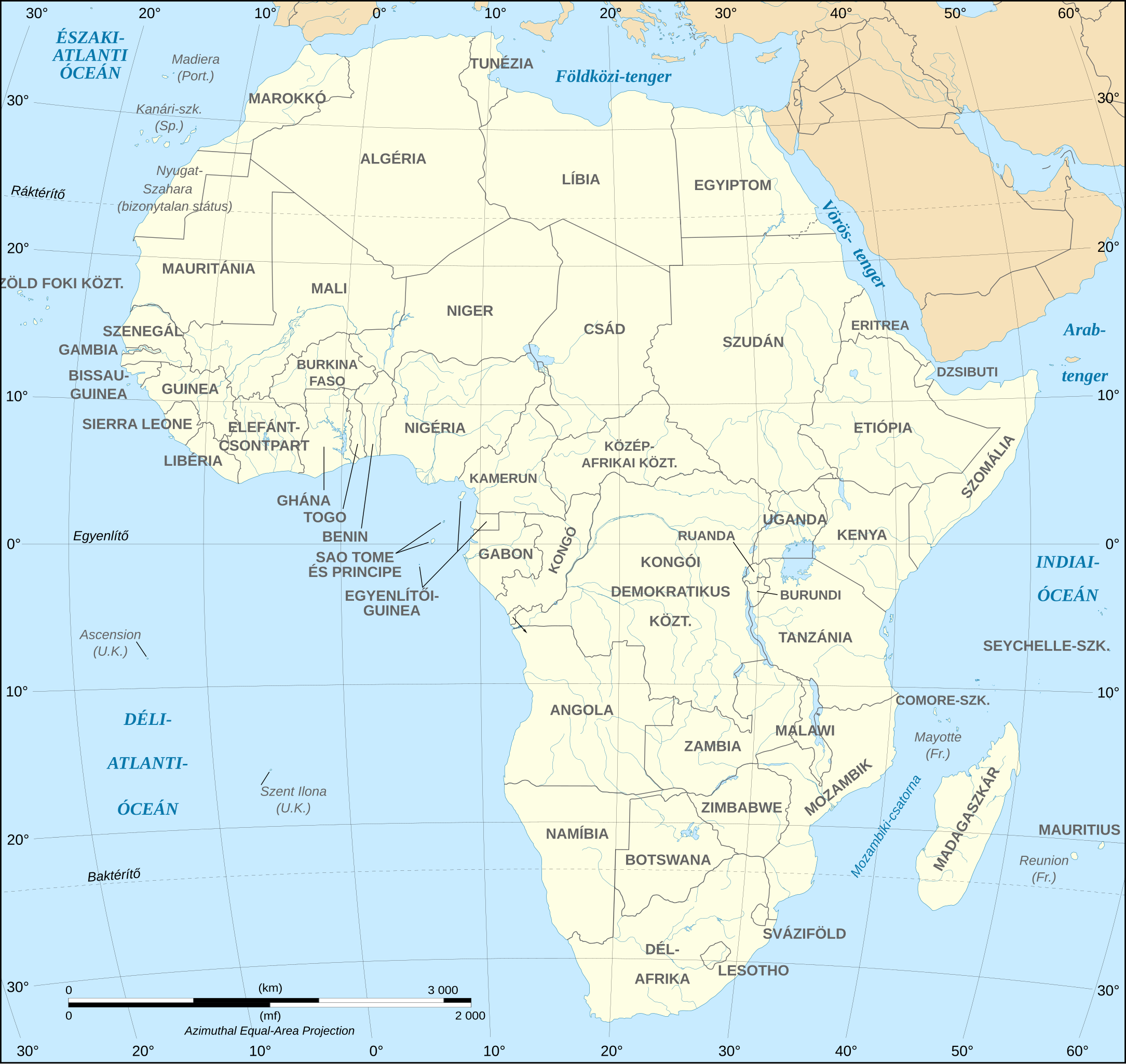
Magyar: Afrika térképe. English: Map of the African continent. Lambert azimutal equal-area projection, WGS84 datum, standard meridian: 15°E, standard parallel: 0°Scale: 1:15,000,000 (accuracy: 3,75 km) |
| Date | (UTC) |
| Source | |
| Author |
|
| This is a retouched picture, which means that it has been digitally altered from its original version. The original can be viewed here: African continent-en.svg:
|
I, the copyright holder of this work, hereby publish it under the following license:
This file is licensed under the Creative Commons Attribution-Share Alike 2.5 Generic, 2.0 Generic and 1.0 Generic license.
- You are free:
- to share – to copy, distribute and transmit the work
- to remix – to adapt the work
- Under the following conditions:
- attribution – You must give appropriate credit, provide a link to the license, and indicate if changes were made. You may do so in any reasonable manner, but not in any way that suggests the licensor endorses you or your use.
- share alike – If you remix, transform, or build upon the material, you must distribute your contributions under the same or compatible license as the original.
Original upload log[edit]
This image is a derivative work of the following images:
- File:African_continent-en.svg licensed with Cc-by-sa-2.5,2.0,1.0
- 2009-01-10T20:16:53Z Sting 1525x1440 (764671 Bytes) Correction Sao Tome
- 2008-12-06T08:37:49Z Bobarino 1525x1440 (767777 Bytes) {{Information |Description={{en|Map of the [[:Category:Maps of Africa|African continent]].}} {{fr|Carte vierge du [[:Category:Maps of Africa|continent africain]].}} Lambert azimutal equal-area projection, WGS84 datum, standar
Uploaded with derivativeFX
File history
Click on a date/time to view the file as it appeared at that time.
| Date/Time | Thumbnail | Dimensions | User | Comment | |
|---|---|---|---|---|---|
| current | 18:42, 5 January 2010 | | 1,525 × 1,440 (752 KB) | Zetrs (talk | contribs) | {{Information |Description= {{hu|Afrika térképe.}} {{en|Map of the African continent.}} Lambert azimutal equal-area projection, WGS84 datum, standard meridian: 15°E, standard parallel: 0°<br/> |
You cannot overwrite this file.
File usage on Commons
The following 2 pages use this file:
File usage on other wikis
The following other wikis use this file:
- Usage on hu.wikipedia.org