File:Afghanistan Roadmap Overlay.png
Jump to navigation
Jump to search
Size of this preview: 668 × 599 pixels. Other resolutions: 268 × 240 pixels | 535 × 480 pixels | 856 × 768 pixels | 1,141 × 1,024 pixels | 2,283 × 2,048 pixels | 4,000 × 3,589 pixels.
Original file (4,000 × 3,589 pixels, file size: 180 KB, MIME type: image/png)
Captions
Captions
Add a one-line explanation of what this file represents
Summary[edit]
| Description |
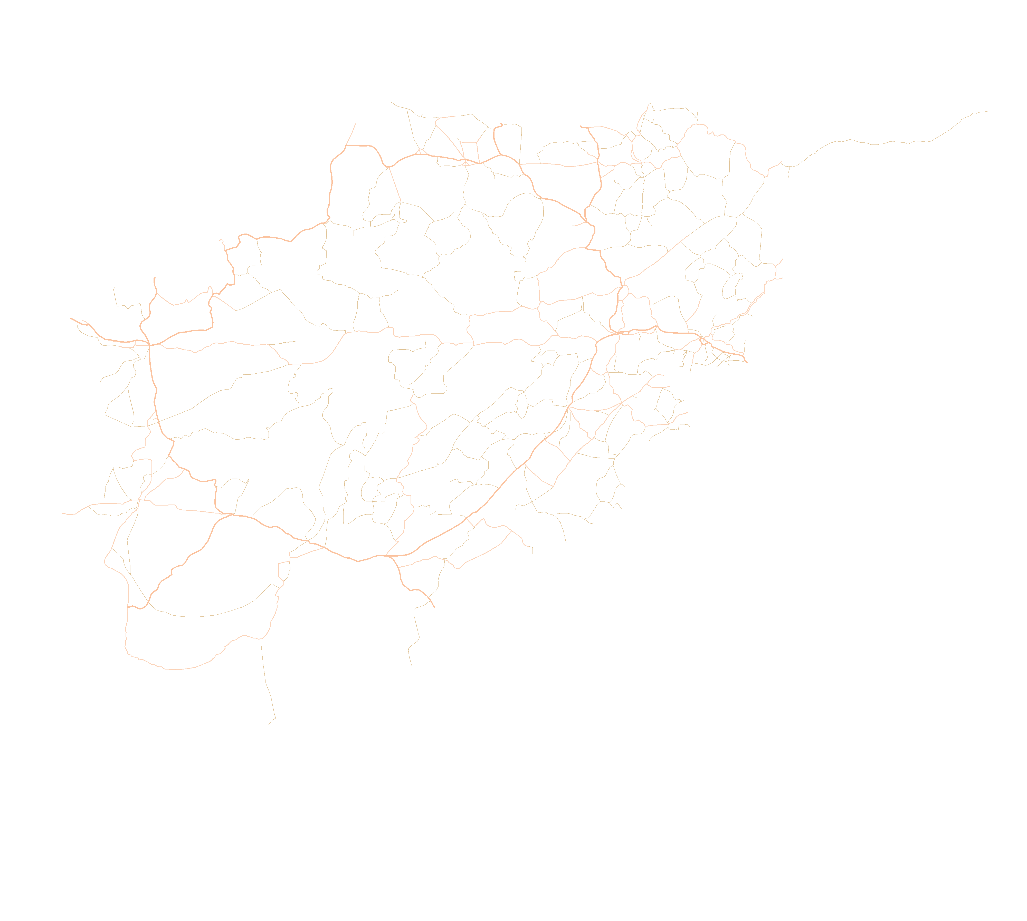
English: Transparent roadmap of Afghanistan intended for use on the Taliban Insurgency template map page. |
| Date | |
| Source | Own work |
| Author | TheMapLurker |
Licensing[edit]
I, the copyright holder of this work, hereby publish it under the following license:
This file is licensed under the Creative Commons Attribution-Share Alike 4.0 International license.
- You are free:
- to share – to copy, distribute and transmit the work
- to remix – to adapt the work
- Under the following conditions:
- attribution – You must give appropriate credit, provide a link to the license, and indicate if changes were made. You may do so in any reasonable manner, but not in any way that suggests the licensor endorses you or your use.
- share alike – If you remix, transform, or build upon the material, you must distribute your contributions under the same or compatible license as the original.
File history
Click on a date/time to view the file as it appeared at that time.
| Date/Time | Thumbnail | Dimensions | User | Comment | |
|---|---|---|---|---|---|
| current | 04:00, 14 October 2020 | | 4,000 × 3,589 (180 KB) | TheMapLurker (talk | contribs) | Reset the filesize to 4000px width. |
| 03:17, 14 October 2020 |  | 4,020 × 3,607 (181 KB) | TheMapLurker (talk | contribs) | Corrected an error on a road in Ghor. | |
| 19:06, 13 October 2020 |  | 4,010 × 3,600 (180 KB) | TheMapLurker (talk | contribs) | Made the roads 50% transparent. | |
| 14:26, 13 October 2020 |  | 4,010 × 3,600 (434 KB) | TheMapLurker (talk | contribs) | Added more detail to the map including enlarging roads that form the main highways such as the ring highway and having them in a more distinct color. | |
| 02:19, 5 September 2020 |  | 2,800 × 2,062 (81 KB) | TheMapLurker (talk | contribs) | Upscaled it to 2800px width and maintained aspect ratio | |
| 04:34, 12 August 2020 |  | 1,807 × 1,331 (111 KB) | TheMapLurker (talk | contribs) | Removed antialiasing, reduced opacity to 50% | |
| 01:41, 11 August 2020 |  | 1,807 × 1,331 (246 KB) | TheMapLurker (talk | contribs) | Uploaded own work with UploadWizard |
You cannot overwrite this file.
File usage on Commons
The following 7 pages use this file:
- User:Chumwa/OgreBot/Transport Maps/2020 August 11-20
- User:Chumwa/OgreBot/Transport Maps/2020 October 11-20
- User:Chumwa/OgreBot/Transport Maps/2020 September 1-10
- User:Chumwa/OgreBot/Travel and communication maps/2020 August 11-20
- User:Chumwa/OgreBot/Travel and communication maps/2020 October 11-20
- User:Chumwa/OgreBot/Travel and communication maps/2020 September 1-10
- Commons:Graphic Lab/Map workshop/Archive/2020
File usage on other wikis
The following other wikis use this file:
- Usage on en.wikipedia.org
- Usage on fa.wikipedia.org
- Usage on vi.wikipedia.org